What is recorded here
Fairy forts are misnamed: human ringforts, often farmsteads or excludes, later disguised by legend. Leons keeps that boundary still, even where the earth has levelled. The circle measured thirty-five metres across, large enough for a household, a byre and a garden, but small enough to defend with a dozen hands. Its bank and ditch marked ownership on a ridge visible from neighbouring fields. When the land was taken or forgotten, the fort disappeared, leaving only a flat place where a life once turned.
Located on a SE-NW spur or ridge. This was described in 1967 (SMR file) as a circular grass-covered area (diam. c. 35m) defined by an overgrown earth and stone bank (at S: Wth of base 7m; Wth of top 1.5m; int. H 1.4m; ext. H 2.15m) NE-S-W and an outer fosse (at S: Wth of top 5.6m; Wth of base 2.4m; ext. D 1.5m) NE-S-SW, but the bank is reduced to a scarp (at ESE: H 2m) elsewhere. The bank formed the townland boundary with Tullynaskeath West to the E from NNW-SE. The entrance (Wth of base 2.2m) and causeway (Wth of top 2m) were at SW. The monument has been removed between 1967 and 1995 (OSI images). The rath (MO031-078----) is c. 70m to the NW.
The above description is derived from the published 'Archaeological Inventory of County Monaghan' (Dublin: Stationery Office, 1986). In certain instances the entries have been revised and updated in the light of recent research.
Date of revision: 31 July 2017
This remains an important historical record, but the official description says the monument is no longer visible or has been destroyed. The monument record does not grant public access. Check the route and ask the landowner before entering private land.
- What survives
- No visible remains or recorded as destroyed
Places near here
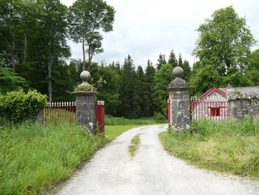 Lough Fea Housedemesne walls/gates/railings · 1262 yd
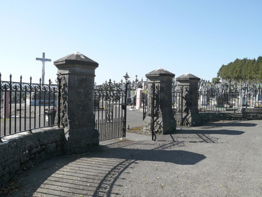 Saint Joseph's Cemeterygates/railings/walls · 1.0 mi
 Monkey-puzzleMonkey-puzzle · 1.1 mi
 CrossCross, Churchyard cross · 1.2 mi
 Crannog in Drummond OtraCrannog · 1.2 mi
 European BeechEuropean Beech · 1.3 mi
 Flat cemetery in AnnaheanFlat cemetery · 3.3 mi
 Lagan castleCastle, tower house · 3.6 mi
 BarleyhillMountain / peak · 3.7 mi
 Mannan Castle (in ruins)Castle, Anglo-Norman masonry castle · 3.8 mi
 Drumerlough MoreMountain / peak · 4.1 mi
 Natural Play AreaMemorial · 4.1 mi