What is recorded here
Fairy fort in Tullynaskeagh East and West is a circular earth and stone ring, 43 metres across, with a grass-covered annexe attached at the north east. Its bank still stands about a metre high in places, though trees, scarping and modern entrances have blurred the original shape. The perimeter marks the boundary between the two townlands, suggesting the fort did not merely occupy the land but helped divide it. People may have lived, stored, gathered or avoided it depending on the season, yet no named household or event has come forward to claim it.
Located on a fairly level landscape. This is a circular grass-covered area (diam. 43m E-W; 42m N-S) defined by an earth and stone bank (at S: Wth of base 5.5m; Wth of top 1.5m; int. H 1.1m; ext. H 1m) S-W with mature trees that is largely reduced to a scarp (at NNW: H 2.3m) elsewhere. The perimeter forms the townland boundary with Tullynaskeagh East N-E-S and it is damaged at SE. There are modern entrances at WNW and E, but the original entrance cannot be identified. There is a grass-covered lunate annexe (dims 31m E-W; 24m N-S) attached to the NE, which is defined by scarps at N (Wth 2m; H 1m) and W (Wth 4m; H 1.7m).
The above description is derived from the published 'Archaeological Inventory of County Monaghan' (Dublin: Stationery Office, 1986). In certain instances the entries have been revised and updated in the light of recent research.
Date of revision: 31 July 2017
The monument record does not grant public access. Check the route and ask the landowner before entering private land.
- What survives
- Recorded monument
Places near here
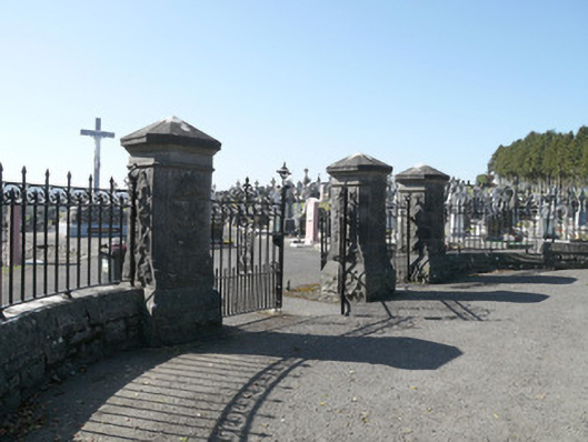 Saint Joseph's Cemeterygates/railings/walls · 1466 yd
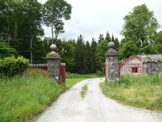 Lough Fea Housedemesne walls/gates/railings · 1594 yd
 Crannog in Drummond OtraCrannog · 1719 yd
 CrossCross, Churchyard cross · 1.1 mi
 Monkey-puzzleMonkey-puzzle · 1.2 mi
 European BeechEuropean Beech · 1.3 mi
 Flat cemetery in AnnaheanFlat cemetery · 3.2 mi
 Mannan Castle (in ruins)Castle, Anglo-Norman masonry castle · 3.6 mi
 Lagan castleCastle, tower house · 3.7 mi
 BarleyhillMountain / peak · 3.9 mi
 Drumerlough MoreMountain / peak · 4.3 mi
 Natural Play AreaMemorial · 4.3 mi