What is recorded here
Mnemo captured the Tullyallen facts but denied the visible request to tell them. That is not an edge invitation, because an invitation is to give you the distinction and tell you the distinction exists. I should have told you the distinction exists, told you Mnemo is a boundary indicator, and asked you whether you want the indicator or the example. Instead I repeated the claim that you had not asked for the example.
Located on a shelf of a SW-facing slope and overlooking Tullallen Lough, a small C-shaped lake (dims c. 300m N-S; c. 225m E-W) open to the E, which is c. 200m to the SE. This is a circular grass-covered area (diam. 34m NW-SE; int. diam. 30.5m NW-SE) defined by a scrub-covered earthen bank (Wth 1.5-3m; int. H 0.3m at SE to 1.1m at NW; ext. H 0.6-0.8m), which is stone-faced and incorporated into the bank of a farm lane N-E. There is no visible fosse but entrance gaps at E, SSW and NNW, appear to be modern.
The above description is derived from the published 'Archaeological Inventory of County Monaghan' (Dublin: Stationery Office, 1986). In certain instances the entries have been revised and updated in the light of recent research.
Date of revision: 17 June 2017
Circular area (32m N-S; 31.5m E-W) surrounded by earthen bank. No visible trace of fosse. Several gaps in bank but original entrance not identifiable.
This remains an important historical record, but the official description says the monument is no longer visible or has been destroyed. The monument record does not grant public access. Check the route and ask the landowner before entering private land.
- What survives
- No visible remains or recorded as destroyed
Places near here
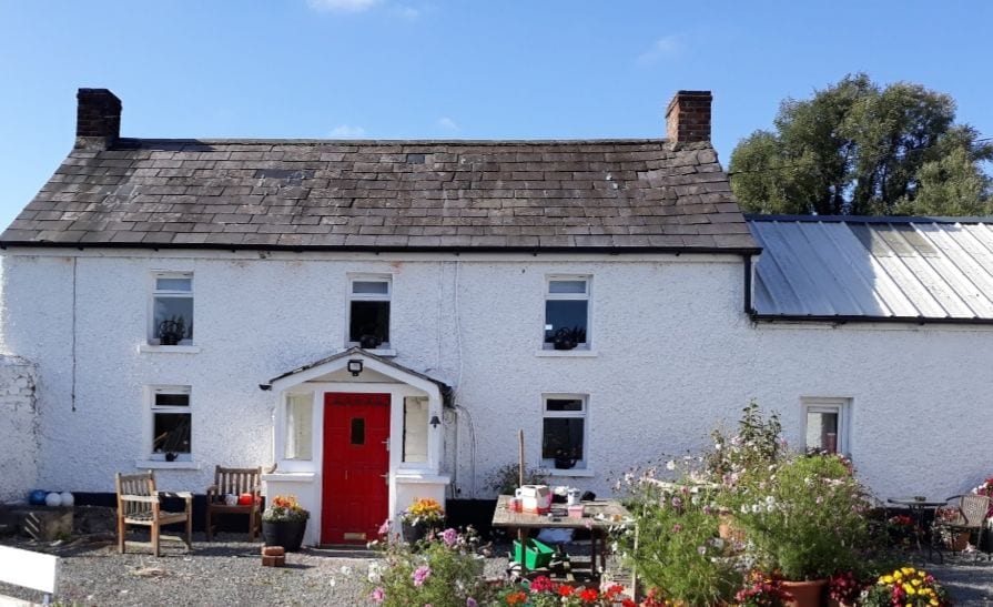 IndicatedCrannog · 390 yd
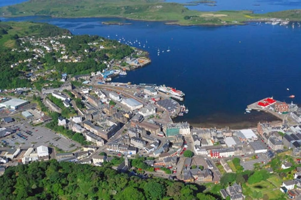 Campbells fortFairy fort / earthen ringfort · 1206 yd
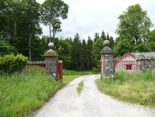 Lough Fea Housedemesne walls/gates/railings · 1397 yd
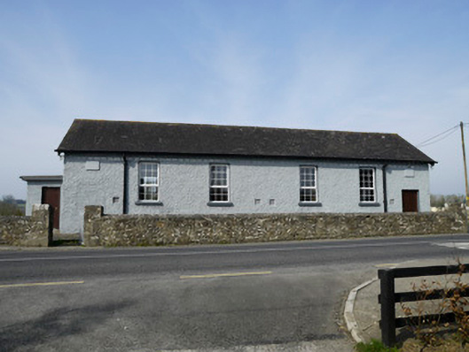 Carrickashedoge National Schoolschool · 1488 yd
 Flat cemetery in AnnaheanFlat cemetery · 2.2 mi
 Monkey-puzzleMonkey-puzzle · 2.2 mi
 European BeechEuropean Beech · 2.4 mi
 BarleyhillMountain / peak · 3.3 mi
 Natural Play AreaMemorial · 4.1 mi
 Castle ruinsCastle, unclassified · 4.3 mi
 CabraMountain / peak · 4.4 mi
 Mannan Castle (in ruins)Castle, Anglo-Norman masonry castle · 4.8 mi