What is recorded here
No visible monument remains at Tullaree. The lost ringfort likely sat on open coastal ground, its earthen bank and entrance now erased by soil shift, farming or forgetting. What is certain is the place name and regional tradition, not a visible fort. Any claim about its size, date or fate is invention unless tied to evidence.
Internal diam. 16m
A circular univallate enclosure located at the E end of a low, local rise on the coastal plain S of Tralee Bay. The earthen enclosing bank is c. 2m wide at base and averages .8m in height externally and .5m internally. There is a 1m wide entrance gap at SSW. The drystone facing to the external flank of the bank in the SW quadrant is a secondary feature associated with the incorporation of this section of the bank into the modern field boundary system.
The above description is derived from J. Cuppage, ‘Corca Dhuibhne. Dingle Peninsula archaeological survey. Ballyferriter. Oidhreacht Chorca Dhuibhne’ (1986), no. 532. In certain instances the entries have been revised and updated in the light of recent research.
Date of upload: 7 August 2013
The monument record does not grant public access. Check the route and ask the landowner before entering private land.
- What survives
- Recorded monument
Places near here
 Standing stone in Aughacasla NorthStanding stone · 869 yd
 Man-made underground passage in Caher (corkaguiny By.)Man-made underground passage · 1340 yd
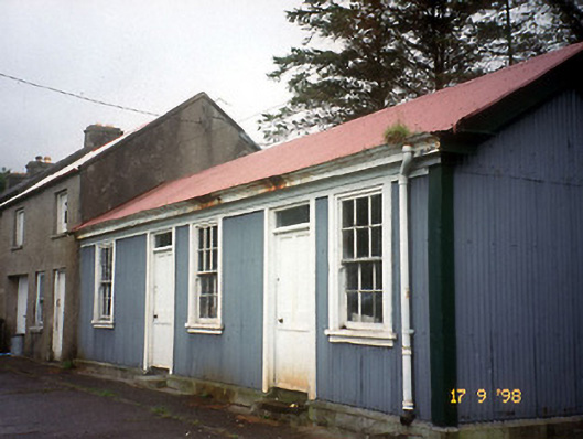 Castlegregory Railway Stationrailway station · 1.1 mi
 Site of CastleCastle, unclassified · 1.2 mi
 Saint Mary's Catholic Churchchurch/chapel · 1.3 mi
 CarrigadavMountain / peak · 1.8 mi
 IndicatedCastle, tower house · 1.9 mi
 Sandy Bay BeachBeach / strand · 2.6 mi
 CummeenMountain / peak · 2.9 mi
 Graveyard in Baile An Chnocáin (tc An Cnoc Glas)Graveyard · 3.5 mi
 Glanteenassig Forest ParkForest · 3.5 mi
 Fermoyle BeachBeach / strand · 4.3 mi