What is recorded here
Fairy forts are often no more than a shallow circle of stones or earth, but locals still leave them be. In Tullahennel North, a univallate rath sat two-thirds up a pastoral field beside a northwest-southeast bank. It has been levelled now, erased by plough or progress. Yet in Kerry, the ground remembers shapes long after human memory fades.
This univallate rath is about two-thirds of the way up a pastoral field. A fieldbank running in a NW-SE direction runs immediately NE of this rath. Today this site has been levelled.
The above description is derived from C. Toal, ‘North Kerry Archaeological Survey’. Dingle. Brandon in association with FAS Training and Employment Authority (1995), no. 311. In certain instances the entries have been revised and updated in the light of recent research.
Date of upload: 2 August 2013
The monument record does not grant public access. Check the route and ask the landowner before entering private land.
- What survives
- Recorded monument
Places near here
 Burnt spread in KilgarvanBurnt spread · 1.1 mi
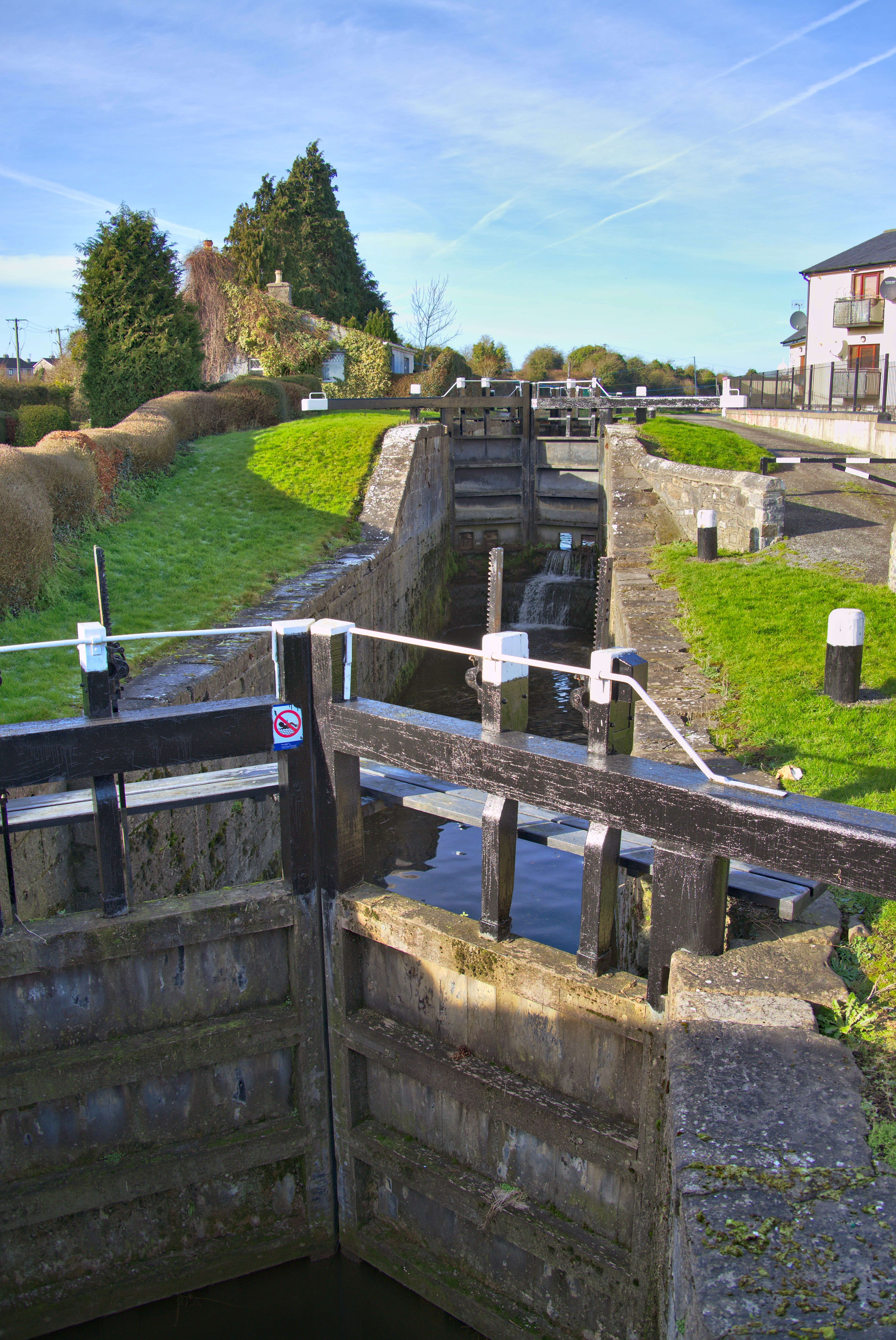 Man-made underground passage in Kilcock LowerMan-made underground passage · 1.2 mi
 Coolbeha Househouse · 2.5 mi
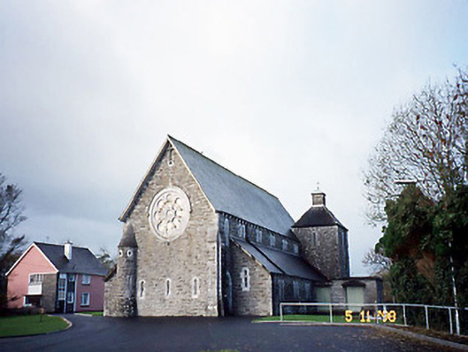 Catholic Church of Saint Michael the Archangelchurch/chapel · 2.7 mi
 KnockanoreMountain / peak · 2.8 mi
 Bawn in BallydonohoeBawn · 2.9 mi
 CastleCastle, ringwork · 3.0 mi
 Siege of Carrigafoyle Castlesiege · 3.1 mi
 Carrig IslandIsland · 3.3 mi
 Beal PointHeadland · 4.5 mi
 Cliffs of DooneenCliff · 5.1 mi
 Scattery IslandIsland · 5.4 mi