What is recorded here
Fairy fort in Tulach Chonóg, County Meath: a grass-covered circular ridge, 52m across, with a steep inner scarp and shallow outer ditch, but no visible entrance. It stands on a north-west slope like a room without a door, inviting imagination rather than certainty. People may have lived, hidden or worshipped there before written records; the earth keeps its shape while human names fade.
Situated on a NW-facing slope. This is a raised circular and grass-covered area (diam. 52m NE-SW; 49m NNW-SSE) defined by a scarp (at SE: Wth 3.5m; H 1.6m; at NW: Wth 20m; H 3.5m), with a fosse (at SE: Wth of top 8m; Wth of base 1.5m; ext. D 0.7m) ENE-SSW. There is no identifiable original entrance and it is slightly truncated at SW by a NW-SE field bank.
The above description is derived from the published 'Archaeological Inventory of County Meath' (Dublin: Stationery Office, 1987). In certain instances the entries have been revised and updated in the light of recent research.
Compiled by: Michael Moore
Date of revision: 17 April 2019
Amended: 24 March 2023
The monument record does not grant public access. Check the route and ask the landowner before entering private land.
- What survives
- Recorded monument
Places near here
 Not idicaetedFairy fort / earthen ringfort · 1133 yd
 EnclosureEnclosure, large enclosure · 1243 yd
 Church (in Ruins)Church · 1539 yd
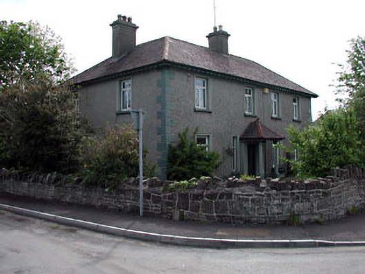 Lynwoodhouse · 1.9 mi
 Fraine CastleCastle, tower house · 2.3 mi
 Moymet CastleCastle, tower house · 2.4 mi
 FraineMountain / peak · 2.5 mi
 JamestownMountain / peak · 3.5 mi
 FarmaphobiaHeritage attraction · 4.7 mi
 Causey FarmHeritage attraction · 4.7 mi
 Laurelberry WoodWood · 4.9 mi
 Girley WoodWood · 5.0 mi