What is recorded here
Magic and myth are human inventions. They are not facts.
Situated just off the crest of the S-facing slope of a small drumlin. This was described in 1966 as a grass and scrub-covered area (diam. 25m N-S) defined by an overgrown earthen bank (at N: Wth of base 4m; Wth of top 1.1m; int. H 1.15m; ext. H 1m) NW-NE that was reduced to an overgrown scarp (at S: H 1.9m) elsewhere. There was no visible fosse or entrance. Rath (MO031-043----) is c. 200m to the N, and rath (MO031-045----) is c. 180m to the NE. It had been removed by 1995 (OSI images). There are farm buildings just to the SE.
The above description is derived from the published 'Archaeological Inventory of County Monaghan' (Dublin: Stationery Office, 1986). In certain instances the entries have been revised and updated in the light of recent research.
Date of revision: 28 July 2017
The monument record does not grant public access. Check the route and ask the landowner before entering private land.
- What survives
- Recorded monument
Places near here
 Man-made underground passage in TrostanMan-made underground passage · 311 yd
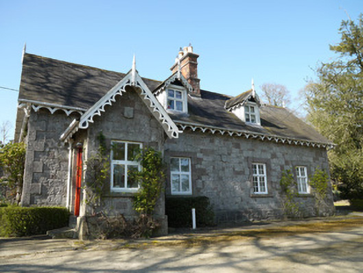 Corcrin Househouse · 381 yd
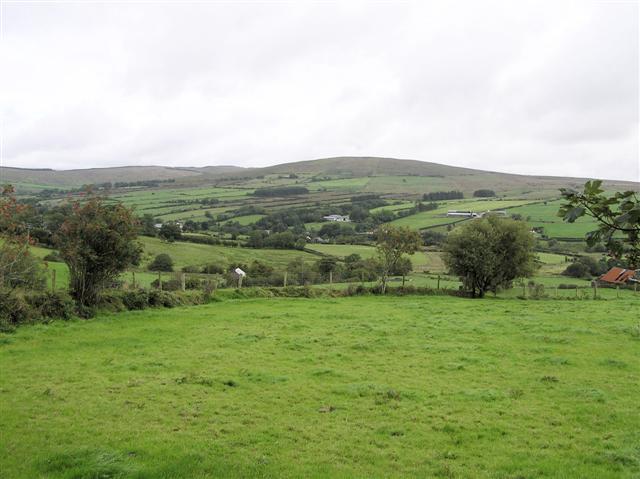 IndicatedRoad, hollow-way · 830 yd
 Crannog in Drummond OtraCrannog · 1180 yd
 Horse-chestnutHorse-chestnut · 1.9 mi
 European BeechEuropean Beech · 2.0 mi
 CastleCastle, motte and bailey · 2.4 mi
 Mannan Castle (in ruins)Castle, Anglo-Norman masonry castle · 2.6 mi
 Flat cemetery in AnnaheanFlat cemetery · 3.7 mi
 TobernagalliaghSpring · 3.8 mi
 BarleyhillMountain / peak · 5.2 mi
:no_upscale()/cdn.vox-cdn.com/uploads/chorus_asset/file/25593391/County_Louth_6th.jpg) LouthMountain / peak · 6.5 mi
LouthMountain / peak · 6.5 mi