What is recorded here
Fairy fort in Tromra, County Longford: a 56m earthen ring on a pasture hillock, its shallow fosse visible only from ESE and WSW-W, entrance lost. People may have stood inside that circle, marked a boundary, kept stock, or simply named the oddness they saw. The earth still holds the shape of a choice made long before cameras, even if the door has forgotten where it opened.
On a hillock in undulating pasture. A raised circular area (c. 56m) defined by a scarp (H 0.9-1.4m) with a shallow external fosse (Wth 5-5.9m; D 0.1-0.55m), which is identifiable only at ESE and from WSW-W. The original entrance is not recognisable.
Compiled by: Patrick F. O'Donovan
Date of upload: 26 August 2011
The monument record does not grant public access. Check the route and ask the landowner before entering private land.
- What survives
- Recorded monument
Places near here
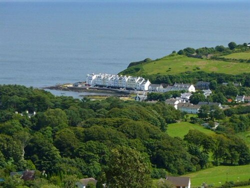 Enclosure in TromraEnclosure · 519 yd
 Burnt mound in AghnagarronBurnt mound · 661 yd
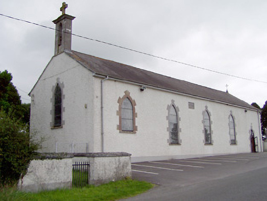 Saint Mary's Catholic Churchchurch/chapel · 1272 yd
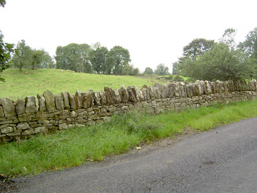 gates/railings/wallsgates/railings/walls · 1351 yd
 Bakers FortCastle, ringwork · 1.1 mi
 1798 Monumentmonument · 1.2 mi
 Granard MotteMotte-and-bailey castle remains · 1.2 mi
 CastleCastle, unclassified · 1.2 mi
 CartronfreeMountain / peak · 2.0 mi
 Derrycassan WoodsWood · 3.0 mi
 ToomeMountain / peak · 3.4 mi
 InchmoreIslet · 3.5 mi