What is recorded here
Fairy fort in Trevet Grange is a ruined ringfort on a slight slope beside a small stream. Its broken banks and hidden ditches still mark a circular home or stronghold, though time and passage have worn much of it away. The name suggests people once believed the place belonged to beings rather than themselves, and that belief may have kept it sacred long after its builders forgot it.
Situated on a rise which is on a slight E-facing slope and on the S bank of a small W-E stream. This is a raised circular and grass-covered area (diam. 54m NNW-SSE; 51m ENE-WSW) defined by an earthen bank (Wth of base 7-12m; int. H 0.6m at SSE to 2.6m at NNW) separated by a fosse (Wth of top 15m at SSE to 19m at NNW; Wth of base 3-4m; ext. D 2.1m at SSE to 3.2m at NNW) from an outer bank (Wth of base 5m at SSE to 9m at NNE; ext. H 1.3m at SSE to 2.3m at NNE) that can be distinguished from the fosse. There is a second outer fosse (Wth of top 6m; ext. D 0.7m) and a slight external bank (Wth c. 8m; ext. H 0.4m) S-W-N (max. ext. diam. 108m NNW-SSE). The banks and fosses are destroyed ENE-SE where the original entrance may have been, but elsewhere the defences are overgrown. There is a modern entrance through both banks at W.
The above description is derived from the published 'Archaeological Inventory of County Meath' (Dublin: Stationery Office, 1987). In certain instances the entries have been revised and updated in the light of recent research.
Compiled by: Michael Moore
Date of upload: 10 July 2007
Amended: 13 April, 2022, 24 March 2023
The monument record does not grant public access. Check the route and ask the landowner before entering private land.
- What survives
- Recorded monument
Places near here
 Enclosure in TrevetEnclosure · 1076 yd
 IndicatedEnclosure, large enclosure · 1.1 mi
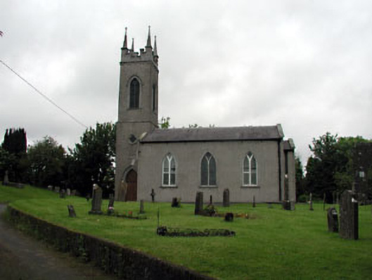 Saint Seachnall's Church (Dunshaughlin)church/chapel · 2.3 mi
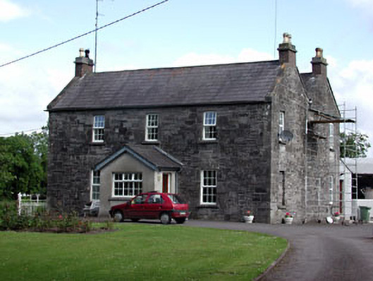 Oberstown Housefarm house · 2.3 mi
 Macetown CastleCastle, tower house · 2.5 mi
 Lemur WoodWood · 2.7 mi
 The Pond WoodWood · 2.7 mi
 Emerald ParkHeritage attraction · 2.8 mi
 CastleCastle, motte · 2.8 mi
 Candle HillMountain / peak · 2.9 mi
 Battle of Tara Hillbattle · 4.0 mi
 Battle of Tara (Ireland)Major battlefield · 4.1 mi