What is recorded here
A small circular enclosure on a hillock in Torboy, marked 'Fort' on the 1837 map but hidden beneath trees and earth by 1914. It may be a landscaped rath, its boundary forgotten or deliberately buried under pasture and root. Whatever it was, it stopped being a fort and became a shape in the field, visible only to someone who knows which trees belong to the circle and which merely grow there.
On a hillock in pasture. Depicted as a small circular enclosure with the designation 'Fort' on the 1837 ed. of the OS 6-inch map. The enclosing element is planted with trees at intervals. On the 1914 map ed. only the trees are evident. Not visible at ground level. Possibly a landscaped rath.
Compiled by: Patrick F. O'Donovan
Date of upload: 24 February 2012
The monument record does not grant public access. Check the route and ask the landowner before entering private land.
- What survives
- Recorded monument
Places near here
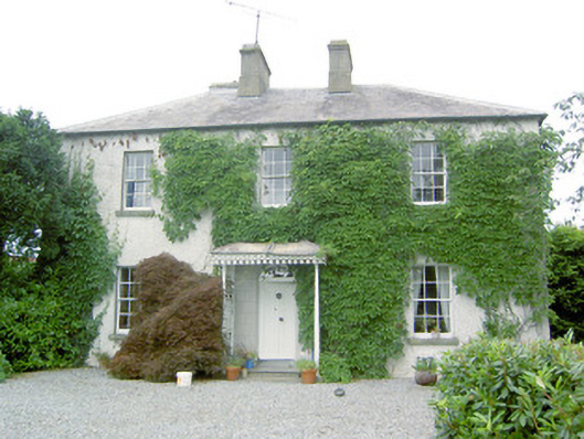 Torboy Househouse · 294 yd
 fort HachuredFairy fort / earthen ringfort · 569 yd
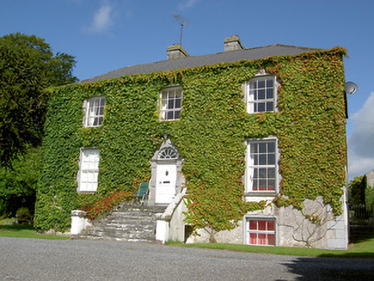 Loughan Househouse · 1226 yd
 Enclosure in Glenmore (moydow By.)Enclosure · 1.0 mi
 Mornin Castle (in Ruins)Castle, tower house · 1.2 mi
 National Famine WayWalking route · 1.8 mi
 Bawn in CastlereaBawn · 1.9 mi
 Corlea Bog Walk Canal BranchWalking route · 3.4 mi
 Corlea Trackway Interpretative CentreHeritage attraction · 3.6 mi
 Graveyard in Curry (ardagh By., Coolamber Ed)Graveyard · 4.7 mi
 Leveret IslandIslet · 8.2 mi
 InchbofinIslet · 9.0 mi