What is recorded here
Toomaline Upper holds a broken ring where human hands shaped earth into a circle before memory faded. The bank still rises sixty centimetres in places, thin as a knife edge after centuries of rain and foot traffic. A tree ring waits one hundred metres north-west, marking another forgotten life. Together they suggest a valley where people built, departed and let the land take back the shape.
On slight S-facing slope, overlooking the Cahernahallia River valley to E with excellent views from E-S-W, overlooked by higher ground from W-N-E. Tree-ring (LI016-017----) lies 105m to NW. Depicted on the OS 25-inch map as a roughly circular-shaped enclosure, with a trackway approx. 5m to E. Monument surveyed by the ASI in 1999 and described as a slightly raised circular-shaped area (32m N-S; 30m E-W) defined by an earthen bank reduced to a scarp. The bank (int. H 0.6m; ext. H 0.4m; Wth 4.7m) is visible from NW-N-NE and the scarp (Wth 2m; H 0.6m) from NE-E-S-W-NW. The interior is level, having been cut into the upslope at N and raised on the S side to compensate for hillslope. A short portion of the scarp (Wth 4m) is low and eroded at SSE, indicating a possible entrance. Monument visible as a subcircular-shaped tree-planted earthwork on ASI aerial photos (ASIAP 354, 17) taken 2003, on Digital Globe orthophotos taken 2011-13 and on Google Earth orthoimages taken 18/11/2018.
See attached plan and cross sections surveyed and drawn by the ASI and Google Earth orthoimages
See attached Google Earth orthoimages
Compiled by: Alison McQueen and Vera Rahilly
Date of upload: 13 July 2020
The monument record does not grant public access. Check the route and ask the landowner before entering private land.
- What survives
- Recorded monument
Places near here
 Toomalinehouse · 292 yd
 IndicatedFairy fort / earthen ringfort · 553 yd
 Partially hachuredFairy fort / earthen ringfort · 805 yd
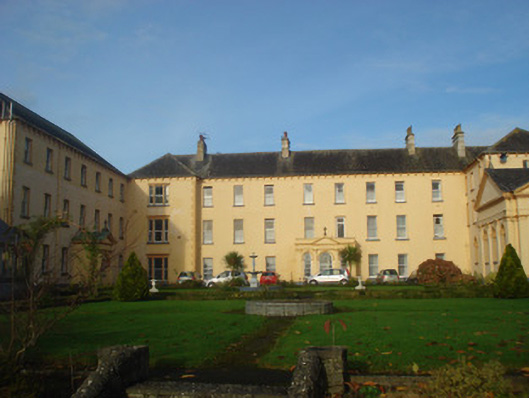 Convent of Mercyconvent/nunnery, country house · 1.3 mi
 GortnageraghMountain / peak · 1.4 mi
 Site of CastleCastle, unclassified · 1.4 mi
 Coonagh CastleCastle · 2.3 mi
 Green Field ParkWood · 3.5 mi
 TooreenMountain / peak · 5.1 mi
 ToberagaddySpring · 5.5 mi
 Slieve Felim WayWalking route · 6.6 mi
 Graveyard in AbingtonGraveyard · 9.0 mi