What is recorded here
Half the fort is gone, taken for stone or lime, but the remaining circle still stands on the ridge like a chair pulled up to an empty table. People may have lived there, raised children, argued about weather, then vanished into the ordinary world. The fairies never left. They wait for someone stupid enough to build inside the circle.
A short distance off the highest point of a prominent WNW-ESE ridge in pasture. Depicted as a circular enclosure with the designation 'Fort' on the 1837 ed. of the OS 6-inch map. A raised circular area (diam. 21.4m) delimited by a poorly defined scarp (H 0.2-0.55m). The original entrance is not recognisable. A portion of the SE quadrant has been quarried away.
Compiled by: Patrick F. O'Donovan
Date of upload: 26 August 2011
The monument record does not grant public access. Check the route and ask the landowner before entering private land.
- What survives
- Recorded monument
Places near here
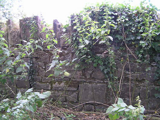 demesne walls/gates/railingsdemesne walls/gates/railings · 1001 yd
 IndicatedFairy fort / earthen ringfort · 1165 yd
 CastleCastle, unclassified · 1565 yd
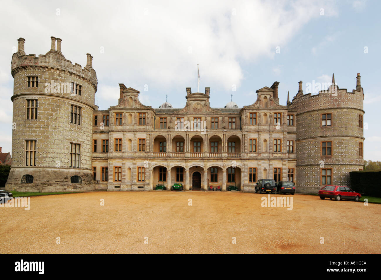 Walshs FortFairy fort / earthen ringfort · 1717 yd
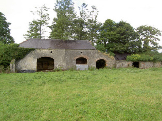 Mossvaleoutbuilding · 1.0 mi
 Site of Castle NugentCastle, unclassified · 1.5 mi
 Clonfin Ambush MemorialMemorial · 2.1 mi
 Granard MotteMotte-and-bailey castle remains · 2.6 mi
 1798 Monumentmonument · 2.7 mi
 Cloonfin WoodForest · 3.1 mi
 Edgeworthstown BypassMemorial · 4.7 mi
 Ballinalee Forest WalkForest · 4.9 mi