What is recorded here
Situated in modern forestry plantation on S facing slope of rising ground with good views to E, S and W now obscured by trees. A circular area (approx. diam. 22m N-S) enclosed by a poorly preserved low earth and stone bank that has been levelled from NE-E-S with slight traces of an external fosse. No entrance feature visible. Several disturbance gaps of modern appearance in the enclosing bank. The interior slopes gently from NW-SE.
Compiled by: Frank Coyne & Caimin O'Brien
Date of upload: 3 January 2017
The monument record does not grant public access. Check the route and ask the landowner before entering private land.
- What survives
- Recorded monument
Places near here
 Partially hachuredFairy fort / earthen ringfort · 606 yd
 Field system in BallymanusField system · 770 yd
 Hilltown Castle (in ruins)Castle, tower house · 1224 yd
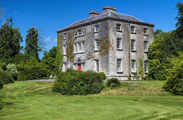 Hilltown Housecountry house · 1275 yd
 Ballycomoyle National Schoolschool · 1642 yd
 CastleCastle, unclassified · 1.1 mi
 Mullaghmeen ForestPicnic place · 1.3 mi
 Mullaghmeen Red WalkWalking route · 1.7 mi
 Mullaghmeen White WalkWalking route · 1.9 mi
 Rock of CurryCliff · 2.5 mi
 European BeechEuropean Beech · 2.7 mi
 European ashEuropean ash · 3.2 mi