What is recorded here
Situated on a gentle S-facing slope. Oval trivallate ringfort (diam 37.5m; max. ext. dims. 80m NE-SW; 60m NW-SE) defined by an earthen bank (max. Wth 6.5m; H 1-1.8m), an external fosse (Wth 3-5m; D 0.8-1.5m), an outer bank (Wth 2.5m; H 0.8m) and another earthen bank (Wth 3-4m) separated from the middle bank by a flat open area 5-15m wide. There is an entrance feature (Wth 3m) in the innermost bank at the SE with a corresponding causeway (Wth 4.5m) across the fosse. No indication of internal features. Visible on aerial photographs (CUCAP, BDQ 75, BGM 85).
The above description is derived from the published 'Archaeological Inventory of County Wicklow' (Dublin: Stationery Office, 1997). In certain instances the entries have been revised and updated in the light of recent research.
Date of upload/revision: 17 December 2008
The monument record does not grant public access. Check the route and ask the landowner before entering private land.
- What survives
- Recorded monument
Places near here
 Enclosure in ToberpatrickEnclosure · 411 yd
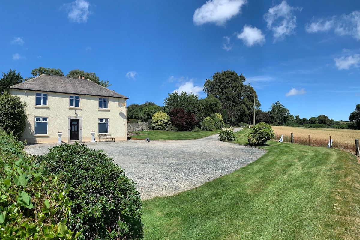 Embanked enclosureFairy fort / earthen ringfort · 869 yd
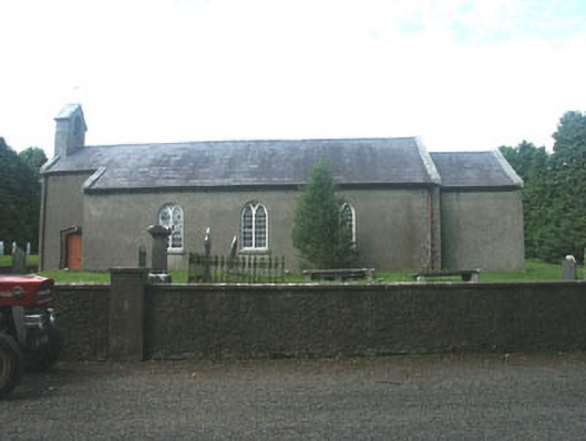 Kilpipe Churchchurch/chapel · 938 yd
 Barnadown Housegates/railings/walls · 1.2 mi
 1798 MemorialMemorial · 1.3 mi
 Coolalug WoodWood · 1.3 mi
 (Site of) Raymond CastleCastle, unclassified · 1.4 mi
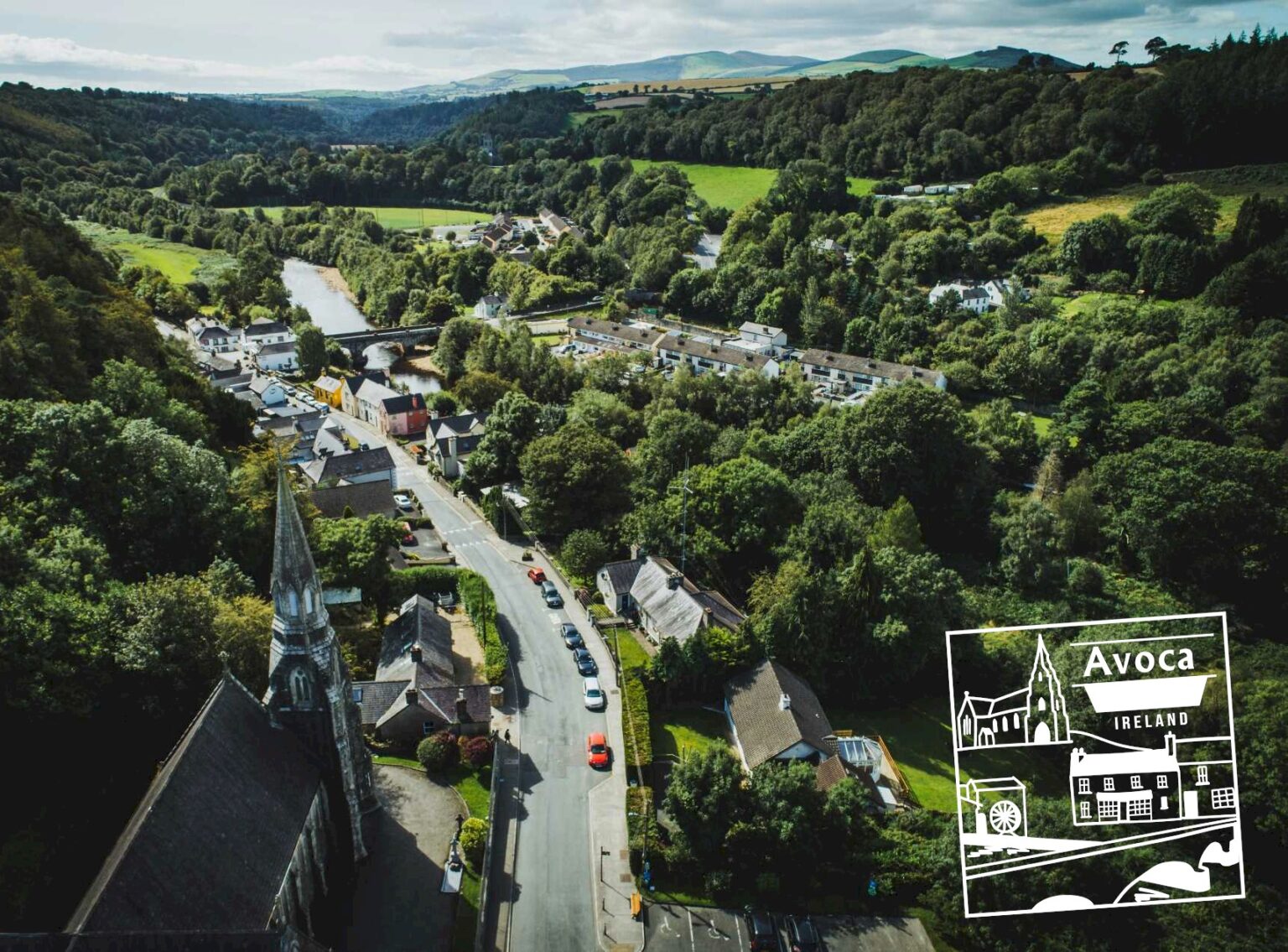 Killaveny WoodWood · 1.6 mi
 Ballythomas HillMountain / peak · 2.1 mi
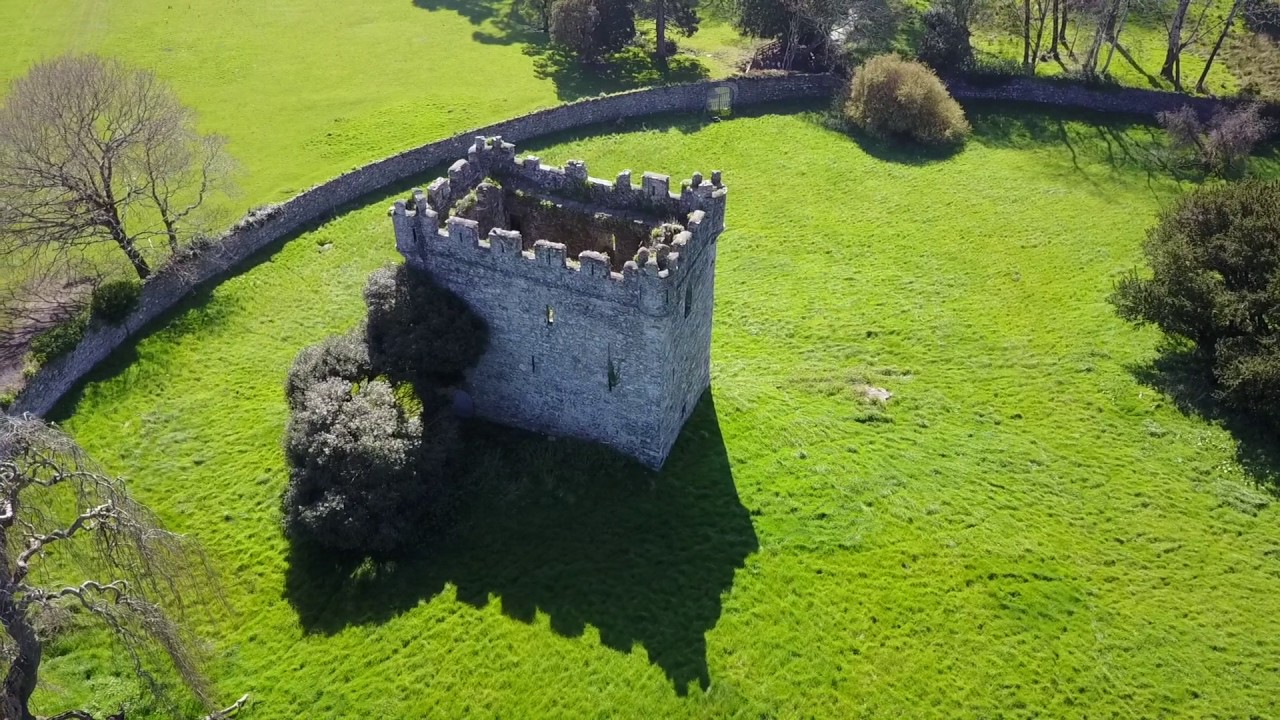 (Site of) Castle & RampartCastle, unclassified · 2.1 mi
 1798 Lacey Brothers MemorialMemorial · 2.5 mi
 Croghan KinsellaMountain / peak · 2.5 mi