What is recorded here
Situated on the edge of a natural terrace on the W facing slope of a high ridge in grassland, surrounded by undulating countryside. Ringfort (WM012-181---) 180m to NNW. Depicted on the 1837 ed. OS Fair Plan map as a circular shaped enclosure annotated ‘fort’. Remains consist of a raised sub-circular shaped area (approx. diam. 36m N-S; 40m E-W) enclosed by a poorly preserved earthen bank and a slight external which is visible from NE-E-S. Traces of cultivation ridges are visible running NE-SW across the interior, which rises slightly towards the centre. Part of the perimeter has been quarried away in the SW quadrant. Field fences intersect the perimeter of the monument at W and N.
See attached profile of monument surveyed and drawn by the ASI.
Compiled by: Frank Coyne and Caimin O'Brien
Date of upload: 12 March 2018
The monument record does not grant public access. Check the route and ask the landowner before entering private land.
- What survives
- Recorded monument
Places near here
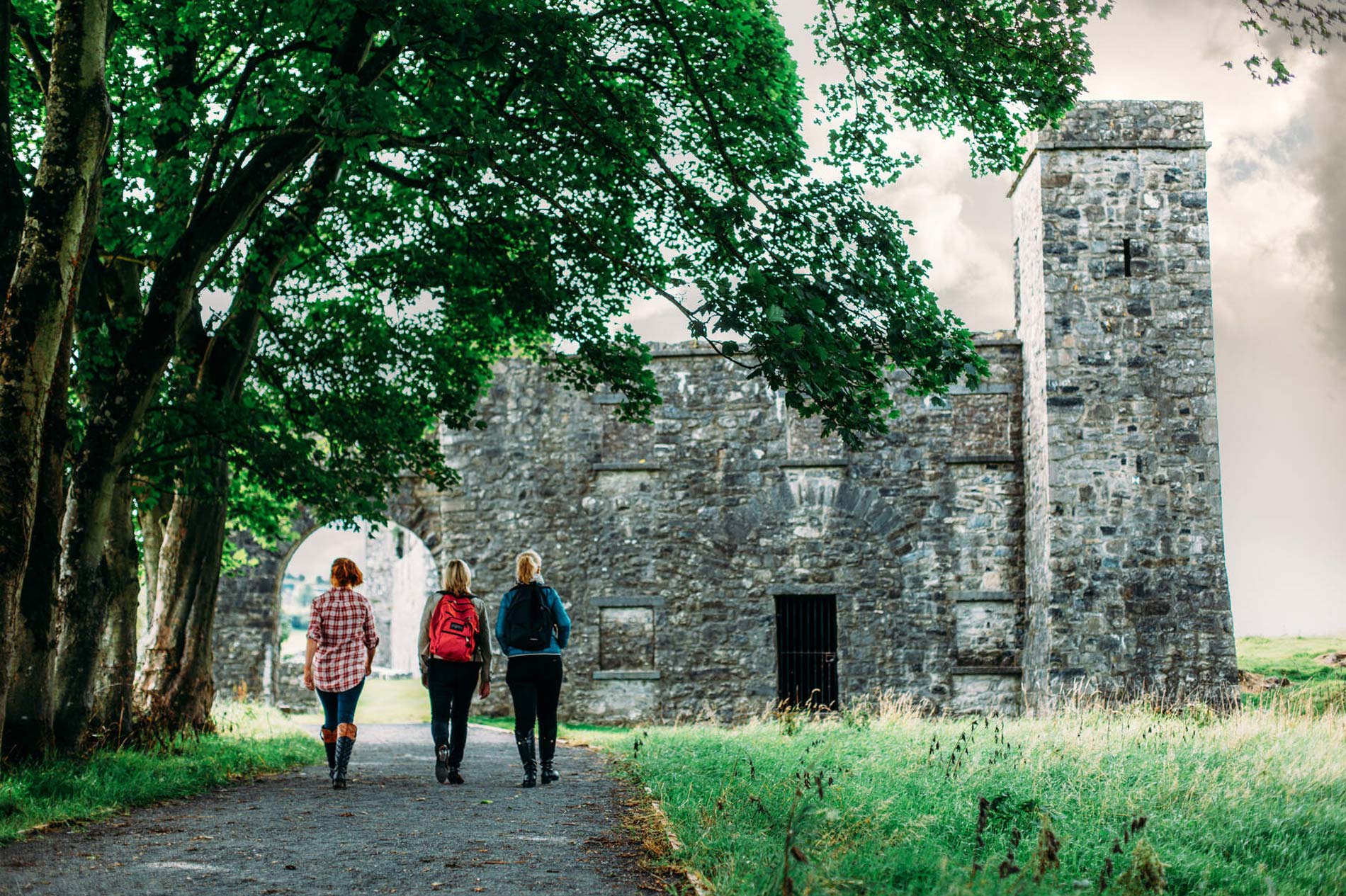 Partially hachuredFairy fort / earthen ringfort · 208 yd
 ToberallenHoly well · 396 yd
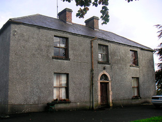 Newgrove Housefarm house · 1.1 mi
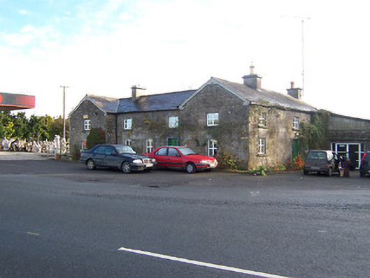 Rose Cottageworker's house · 1.2 mi
 Long PlantingForest · 2.0 mi
 Taghmon CastleCastle, tower house · 2.0 mi
 Scragh Bog Nature ReserveNature reserve · 3.2 mi
 Saint Brigid's WellSpring · 3.3 mi
 Castle (in Ruins)Castle, tower house · 3.4 mi
 Church IslandIsland · 3.7 mi
 United Nations War MemorialMemorial · 3.7 mi
 The Chimera GalleryGallery · 4.2 mi