What is recorded here
That is a ringfort on a low drumlin in County Leitrim, Ireland. People called it a fairy fort, which is a story and not a proven fact. The bank has a field line running through it now, and the flat ground inside is covered in grass and rushes. It is the kind of place where human life and fairy life both become hard to tell apart.
Situated on top of a low drumlin. This is a grass and rush-covered circular area (int. diam. 34m E-W; 32.5m N-S) defined by an overgrown, round-topped, steep-sided bank (Wth 4.5m; int. H 0.35m; ext. H 0.85m) which is incorporated into a field bank NW-E, and an external fosse (Wth of base 2.1m; D 0.3m) at S. There are modern entrances at W (Wth 11m) and N (Wth 3.5m).
The above description is derived from 'The Archaeological Inventory of County Leitrim' compiled by Michael J. Moore (Dublin: Stationery Office, 2003). In certain instances the entries have been revised and updated in the light of recent research.
Date of upload: 23 September 2008
The monument record does not grant public access. Check the route and ask the landowner before entering private land.
- What survives
- Recorded monument
Places near here
 fortsFairy fort / earthen ringfort · 632 yd
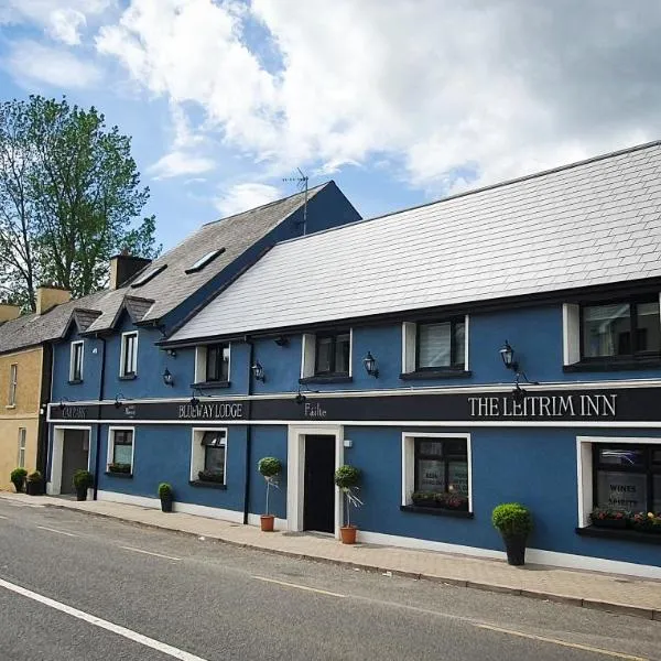 IndicatedFairy fort / earthen ringfort · 1276 yd
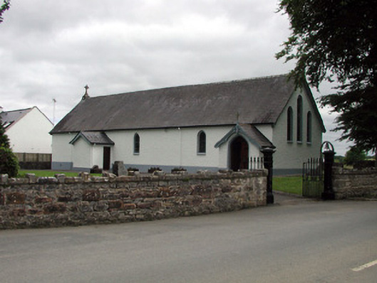 Saint Joseph's Catholic Churchchurch/chapel · 1435 yd
 Shannon-Erne WaterwayVisitor information · 1503 yd
 Sit of Breifny CastleCastle, tower house · 1534 yd
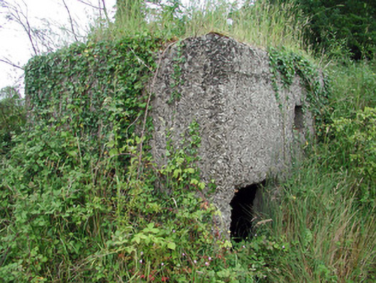 pill boxpill box · 1541 yd
 Leabaidh DermotCave · 1.0 mi
 Sheemore Ambush MemorialMonument · 1.4 mi
 Battle of Áth an Chipbattle · 1.4 mi
 PortCastle, unclassified · 1.5 mi
 InishnagonIsland · 2.0 mi
 Derreenargan WoodWood · 3.9 mi