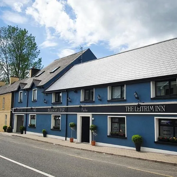
What is recorded here
Situated on an E-facing slope in an undulating landscape at the W foot of Sheemore Hill. This is an overgrown circular area (int. diam. c. 25m) defined by an earth and stone bank (Wth 3m; H 0.5-1m) (Farrelly 1989, vol. 2, 68), which is largely obscured by field spoil.
The above description is derived from 'The Archaeological Inventory of County Leitrim' compiled by Michael J. Moore (Dublin: Stationery Office, 2003). In certain instances the entries have been revised and updated in the light of recent research.
Date of upload: 23 September 2008
The monument record does not grant public access. Check the route and ask the landowner before entering private land.
- What survives
- Recorded monument
Places near here
 Fairy fort / stone ringfort in SheemoreFairy fort / stone ringfort · 437 yd
 Enclosure in SheemoreEnclosure · 534 yd
 Leabaidh DermotCave · 674 yd
 Sheemore Ambush MemorialMonument · 1206 yd
 Church (in Ruins)Church · 1.1 mi
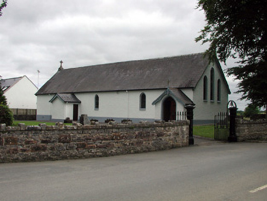 Saint Joseph's Catholic Churchchurch/chapel · 1.5 mi
 Shannon-Erne WaterwayVisitor information · 1.6 mi
 Sit of Breifny CastleCastle, tower house · 1.6 mi
 PortCastle, unclassified · 2.1 mi
 Battle of Áth an Chipbattle · 2.2 mi
 InishnagonIsland · 2.6 mi
 Rusheen IslandIslet · 3.7 mi
Other information
Photo: Credit not shown in the picture search · Rights wording not checked; contact us if this picture should be removed