What is recorded here
Half a kilometre north of the forest ridge, a forgotten ring of earth still holds its shape inside the grass. The fort was levelled before any map remembered it, yet the circular shadow remains visible when the ground is surveyed without sunlight. It sits between damp land and a higher hill, waiting for someone to walk the missing entrance and ask why the area was cleared.
Located in pasture, on a low flat-topped elevation with a gentle fall of ground to an area of damp ground at W and N. It is overlooked c. 300m to E by a high ridge, now forested, and by a hill 250m to N on which another possible rath (MA069-038----) is located.
This enclosure, most likely a rath, was levelled at some unknown date in the past. It is not shown on any edition of the OS 6-inch maps. The outline of a circular enclosure is clearly visible in Lidar imagery.
A roughly circular area (diam. c. 38m) is defined by a low undulation/levelled scarp (Wth slope c. 7m; H 0.8m at SW), which can be traced at ground level at S−NE where it coincides with a natural fall of ground. It is barely discernible on the E arc, which may be the location of the original entrance. The interior is grassy, flat and featureless.
Notified to NMS by Steve McGlade.
DG069-039----_01.JPG Levelled enclosure, viewed from W
DG069-039----_02.JPG Lidar image (Open topographic data viewer)
Compiled by: Jane O'Shaughnessy
Date of upload: 10 May 2022
The monument record does not grant public access. Check the route and ask the landowner before entering private land.
- What survives
- Recorded monument
Places near here
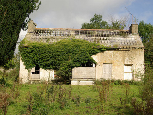 Tyrcallen Househunting/fishing lodge, house · 379 yd
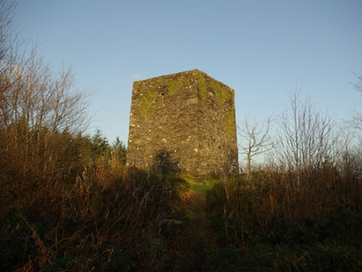 Mullaghagarry Towerfolly · 1001 yd
 TobernasoolHoly well · 1512 yd
 Holy WellHoly well · 1.2 mi
 Castle (Site of)Castle, unclassified · 1.9 mi
 Bawn in Killynure OR Wilsons FortBawn · 2.2 mi
 Drumboe WoodForest recreation place · 2.2 mi
 Gorey HillMountain / peak · 4.8 mi
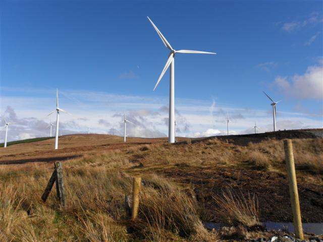 Three TopsMountain / peak · 6.4 mi
 Newmills Corn and Flax MillsHeritage attraction · 7.4 mi
 Battle of Scarrifholisbattle · 7.5 mi
 Stackarnagh Abbey GraveyardGraveyard · 11 mi