What is recorded here
Mortons and fairies both wanted the fort, so neither admits the other. That is why the rings are shallow, as if dug in a hurry during an argument. The measured facts are clear: a circular space about twenty-eight and a half metres across, an inner bank, a fosse on part of the circuit, and a second outer bank. The shape is not the fantasy; the name is the fantasy.
A circular area (diam. c. 28.5m) defined by an inner bank (Wth c. 2.8m, int. H c. 0.4m, ext. H c. 1.1m), an intervening fosse (Wth c. 3.4m), from NE-SE and an outer bank (Wth c. 2.3m, int. H c. 0.9m, ext. H c. 0.3m) NE-E.
The above description is derived from the published 'Archaeological Inventory of County Laois' (Dublin Stationery Office, 1995) compiled by P. David Sweetman, Olive Alcock and Bernie Moran. In certain instances the entries have been revised and updated in the light of recent research.
Date of upload: 17 December 2007
The monument record does not grant public access. Check the route and ask the landowner before entering private land.
- What survives
- Recorded monument
Places near here
 European PearEuropean Pear · 1308 yd
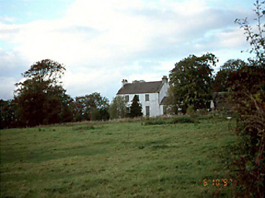 Killermogh Rectoryrectory/glebe/vicarage/curate's house · 1637 yd
 Killermogh Churchchurch/chapel · 1.0 mi
 IndicatedEnclosure · 1.0 mi
 CastleCastle, tower house · 1.0 mi
 Enclosure in OldglassEnclosure · 1.1 mi
 Big WoodWood · 1.3 mi
 Middlemount MoatCastle, motte and bailey · 2.5 mi
 Anker's IslandIsland · 6.6 mi
 Cnoc SeanrathaMemorial · 6.7 mi
 Enclosure in BallycollaEnclosure · 1.2 mi
 Enclosure in Ballycolla HeathEnclosure · 1.3 mi