
What is recorded here
Site of a sand pit, nothing here of archaeological importance. Site identified by Candon as a ringfort (Candon 1987, 23). Possible enclosure indicated on the 1838 edition of the OS six-inch map where it is depicted as a circular feature located in an area of woodland. This feature is partially indicated on the current edition of the OS six-inch map. A modern farmshed has been subsequently built on the site of this feature which had previously been quarried as a sand-pit.
Compiled by: Caimin O'Brien
Date of upload: 17 December 2007
The monument record does not grant public access. Check the route and ask the landowner before entering private land.
- What survives
- Recorded monument
Places near here
 IndicatedEnclosure · 288 yd
 Big WoodWood · 1133 yd
 Church (in Ruins)Church · 1501 yd
 Ecclesiastical enclosure in BallyboodinEcclesiastical enclosure · 1535 yd
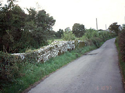 bridgebridge · 1.0 mi
 CastleCastle, tower house · 1.4 mi
 European PearEuropean Pear · 1.7 mi
 Middlemount MoatCastle, motte and bailey · 2.6 mi
 Anker's IslandIsland · 5.9 mi
 Cnoc SeanrathaMemorial · 6.0 mi
 DelaneyMemorial · 8.0 mi
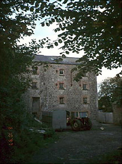 Newtown Millsmill (water) · 1.1 mi
Other information
Photo: Credit not shown in the picture search · Rights wording not checked; contact us if this picture should be removed