What is recorded here
Fairy forts are human buildings misnamed by tradition. In Thomastown, an earthen ringfort stands in reclaimed pasture near the Tobernea West boundary, its scarp and fosse still shaping the ground. It appeared on maps as a circular enclosure before becoming a raised rectangular shadow, suggesting people lived, buried, or forgot it there. The fairies are likely the reason it stopped being discussed.
In reclaimed pasture 30m N of a field boundary that marks the townland boundary with Tobernea West. Depicted on the 1840 ed. OSi 6-inch map as a circular enclosure. It is shown on the 1897 ed. OSi 25-inch map as a raised sub-rectangular-shaped area (dims. c. 40m N-S; 32m E-W) defined by a scarp with fosse. Outline of scrub-covered monument is visible on Digital Globe orthoimage taken between 2011-13 and on Google Earth orthoimages.
See attached Google Earth orthoimages.
Compiled by: Martin Fitzpatrick
Date of upload: 17 August 2021
The monument record does not grant public access. Check the route and ask the landowner before entering private land.
- What survives
- Recorded monument
Places near here
 Tobernea Housepresbytery/parochial/curate's house · 680 yd
 Mound in Thomastown (coshma By.)Mound · 705 yd
 IndicatedFairy fort / earthen ringfort · 1014 yd
 Lady's WellSpring · 1025 yd
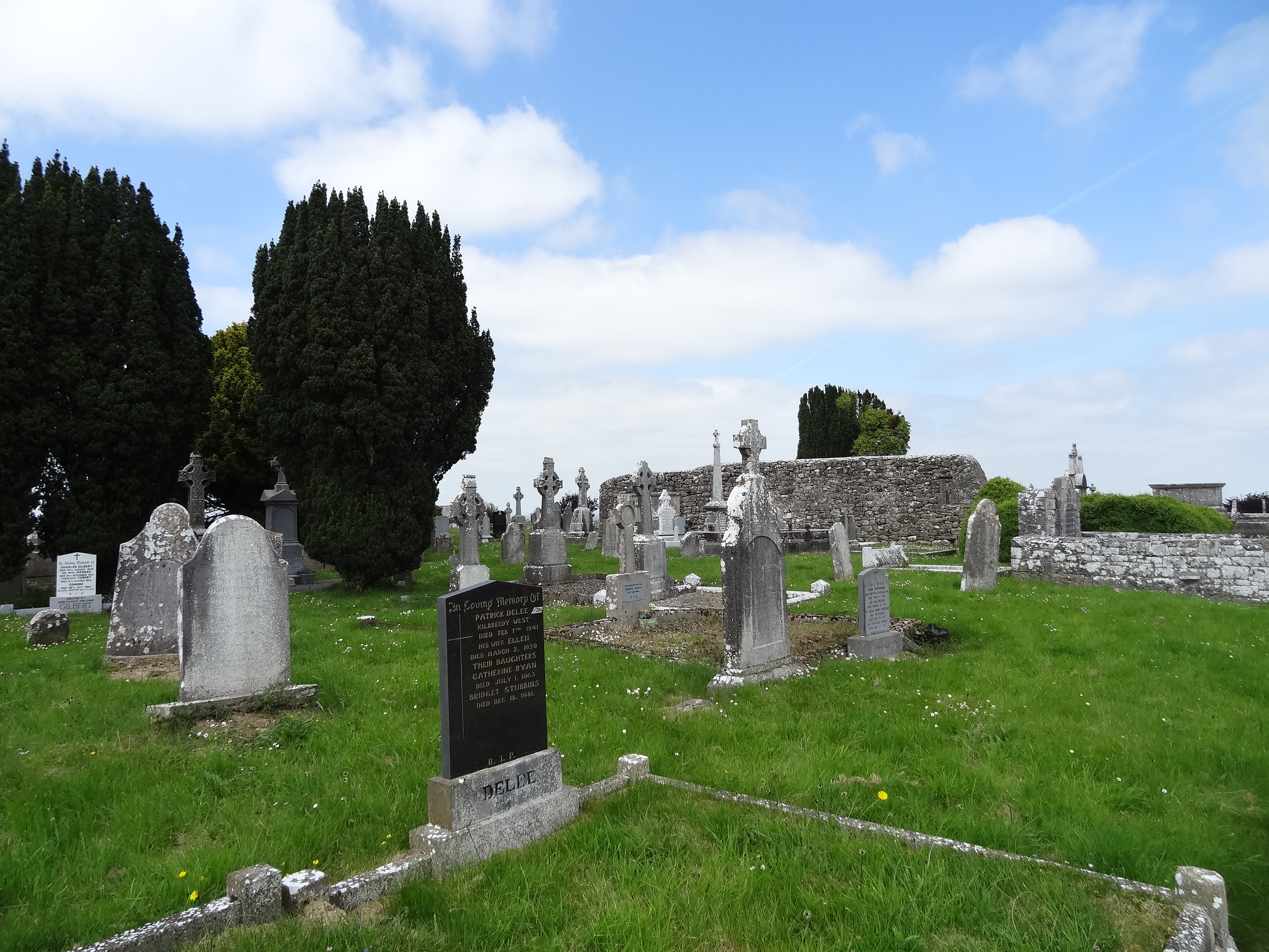 Effin Church (in ruins)Church · 1034 yd
 ToberSpring · 1192 yd
 Site of CastleCastle, unclassified · 1.0 mi
 Castle (in ruins)Castle, unclassified · 1.4 mi
 King John's CastleCastle · 2.6 mi
 Caher HillMountain / peak · 3.1 mi
 Holy Cross CemeteryGraveyard · 3.1 mi
 BallinaboolaVisitor information · 3.7 mi