What is recorded here
Described in 1977 as a ringfort on good pastureland, situated on a small hillock, just below the summit on the E facing slope of rising ground. The site consists of a roughly circular area (diam. 56m N-S; 53m E-W) defined by a low poorly preserved earth and stone bank best preserved from W to NW with a shallow outer fosse which is best preserved at NW and not visible from N to E. The inner bank is lower in height in the S and is very faint from NE to E. There is a short stretch of a counterscarp bank at SE, but this is not visible elsewhere. There is a gap on the E which probably represents the original entrance feature and a later smaller gap on the N. The interior slopes from NW to SE and no features are visible.
Compiled by: Caimin O’Brien
Date of upload: 28 March 2013
The monument record does not grant public access. Check the route and ask the landowner before entering private land.
- What survives
- Recorded monument
Places near here
 Enclosure in Balrath (moycashel By.)Enclosure · 790 yd
 Balrath CastleCastle · 794 yd
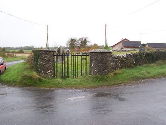 Balrath Graveyardgates/railings/walls · 893 yd
 OutlinedChurch · 940 yd
 Partially hachuredFairy fort / earthen ringfort · 1357 yd
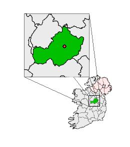 Partially outlinedCastle, unclassified · 1.7 mi
 Bonfire HillMountain / peak · 3.1 mi
 Ardan WoodWood · 3.1 mi
 High WoodWood · 4.9 mi
 Kilmalady HillMountain / peak · 5.1 mi
 St. Columba's WellSpring · 5.1 mi
 Grand Canal WayWalking route · 8.1 mi