What is recorded here
Fairy fort / earthen ringfort in Streamstown (moycashel By.) is a fairy fort or earthen ringfort in Streamstown (moycashel By.), County Westmeath, Ireland. This earthwork sits on a slight rise in pasture and appears on the 1837 edition OS Fair Plan map as a roughly circular shape. The revised 1910 edition OS 25-inch map depicts the site as a circular earthwork measuring approximately 46 metres east-west and 42 metres north-south. A 1973 survey recorded the monument as levelled with no surface remains visible, while it may now appear as a circular cropmark in aerial photography east of a linear gravel ridge.
Situated on a slight rise, in pasture. Annotated 'Fort' on the 1837 ed. OS Fair Plan map and depicted as a roughly circular-shaped earthwork. Depicted on the revised 1910 ed. OS 25-inch map as a circular-shaped earthwork (approx. dims. 46m E-W; 42m N-S). Levelled monument described in 1973 as no surface remains visible. Levelled ringfort possible visible today as a circular-shaped cropmark on OSi aerial photography adjacent to and E of a roughly linear-shaped gravel ridge which is clearly visible on Digital Globe aerial photography.
Compiled by Alison McQueen, Vera Rahilly and Caimin O’Brien.
Date of upload: 21 November 2019
The monument record does not grant public access. Check the route and ask the landowner before entering private land.
- What survives
- Recorded monument
Places near here
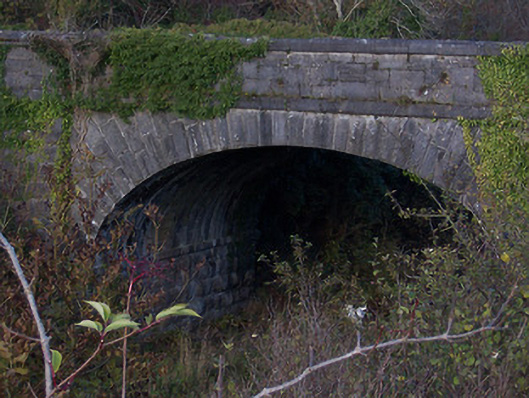 bridgebridge · 235 yd
 Windmill StumpRuins · 708 yd
 OutlinedFairy fort / earthen ringfort · 1116 yd
 Partially outlinedFairy fort / earthen ringfort · 1133 yd
 CastleCastle, unclassified · 1417 yd
 Syonan CastleCastle · 1.6 mi
 Sam's ParkForest · 2.0 mi
 Japanese pagoda treeJapanese pagoda tree · 2.9 mi
 Kilmalady HillMountain / peak · 4.2 mi
 Roughan HillMountain / peak · 6.2 mi
 Charles BianconiMemorial · 6.8 mi
 The Bob Traynor GalleryGallery · 6.8 mi