What is recorded here
Situated on a slight rise, in pasture. Annotated 'Fort' on the 1837 ed. OS 6-inch map and depicted as an oval-shaped earthwork. Shown on the revised 1910 ed. OS 25-inch map as an oval-shaped earthwork bisected by a field boundary running NE-SW. Levelled monument described in 1973 as a faint outline of a roughly semicircular-shaped area (diam. 35m) defined by the vague remains of a levelled bank from SW-W-N-NE. There are no surface remains visible of the other half of the monument on the SE side of the field boundary. Levelled monument is not visible today on Digital Globe aerial photography.
Situated on a slight rise, in pasture. Annotated 'Fort' on the 1837 ed. OS 6-inch map and depicted as an oval-shaped earthwork. Shown on the revised 1910 ed. OS 25-inch map as an oval-shaped earthwork bisected by a field boundary running NE-SW. Levelled monument described in 1973 as a faint outline of a roughly semicircular-shaped area (diam. 35m) defined by the vague remains of a levelled bank from SW-W-N-NE.…
From the National Monuments Service (Archaeological Survey of Ireland) record WM031-035
The monument record does not grant public access. Check the route and ask the landowner before entering private land.
- What survives
- Recorded monument
Places near here
Photo credits
- National Inventory of Architectural Heritage
- Mike Searle, Geograph · CC BY-SA 2.0
- Wayne77, Wikimedia Commons · CC BY-SA 3.0
- Maker named on the Wikimedia Commons picture page · CC BY-SA 2.5
- Jamesco101, Wikimedia Commons · CC BY-SA 4.0
- dougf, Wikimedia Commons · CC BY-SA 2.0
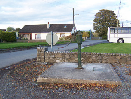 water pump541 yd
 Streamstown HouseCountry house · 716 yd
 Streamstown HouseDemesne walls/gates/railings · 732 yd
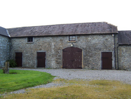 Streamstown HouseStables · 744 yd
 bridge1012 yd
 Killgarvan HouseHouse · 1.1 mi
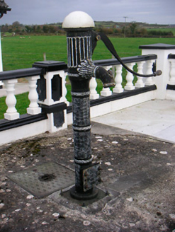 water pump1.1 mi
 Laragh CastleCastle · 1.5 mi
 Japanese pagoda tree2.4 mi
 Sessile Oak8.2 mi
 Abbeyshrule AbbeyRuins · 10 mi
 Esker CastleCastle, tower house · 12 mi
More archaeology and monuments in County Westmeath · All of County Westmeath
What do you know about this place?