What is recorded here
Situated on gently rising ground, in pasture. Ringfort (WM031-034----) lies c. 95m to NE. Annotated 'Fort' on the OS Fair Plan map and depicted as a circular-shaped earthwork cut by a trackway across the SW sector. Depicted on the revised 1910 ed. OS 25-inch map as an irregular semicircular-shaped field boundary. Monument described in 1973 as a roughly circular-shaped area (diam. 27m) enclosed by a low bank with traces of an external fosse. A trackway cuts across the SW sector of the monument, where the perimeter has been levelled. The interior is relatively level and featureless, apart from a boulder in the W quadrant. Levelled monument is visible today as a vague semicircular-shaped cropmark on Digital Globe aerial photography.
Situated on gently rising ground, in pasture. Ringfort (WM031-034----) lies c. 95m to NE. Annotated 'Fort' on the OS Fair Plan map and depicted as a circular-shaped earthwork cut by a trackway across the SW sector. Depicted on the revised 1910 ed. OS 25-inch map as an irregular semicircular-shaped field boundary. Monument described in 1973 as a roughly circular-shaped area (diam. 27m) enclosed by a low bank with…
From the National Monuments Service (Archaeological Survey of Ireland) record WM031-033
The monument record does not grant public access. Check the route and ask the landowner before entering private land.
- What survives
- Recorded monument
Places near here
Photo credits
- National Inventory of Architectural Heritage
- Mike Searle, Geograph · CC BY-SA 2.0
- Wayne77, Wikimedia Commons · CC BY-SA 3.0
- Maker named on the Wikimedia Commons picture page · CC BY-SA 2.5
- Jamesco101, Wikimedia Commons · CC BY-SA 4.0
- A.-K. D., Wikimedia Commons · CC BY-SA 4.0
- dougf, Wikimedia Commons · CC BY-SA 2.0
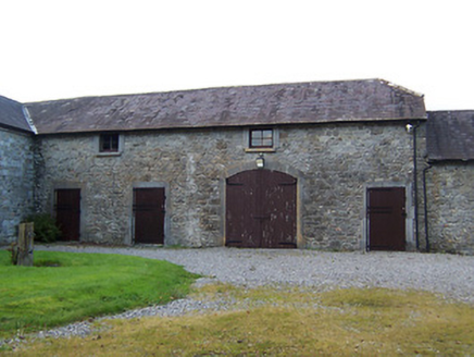 Streamstown HouseStables · 215 yd
 Streamstown HouseCountry house · 232 yd
 Streamstown HouseDemesne walls/gates/railings · 420 yd
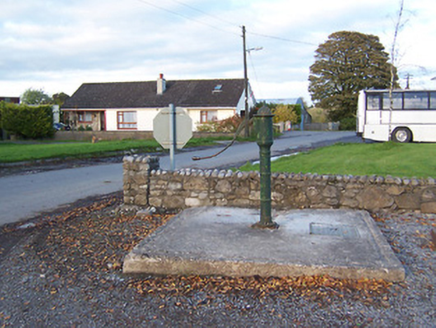 water pump925 yd
 bridge1146 yd
 Laragh CastleCastle · 1.2 mi
 Japanese pagoda tree2.3 mi
 Sessile Oak8.4 mi
 Abbeyshrule AbbeyRuins · 10 mi
 AbbeyHermitage · 12 mi
 St. Managhans WellHoly well · 12 mi
 Esker CastleCastle, tower house · 12 mi
More archaeology and monuments in County Westmeath · All of County Westmeath
What do you know about this place?