What is recorded here
Fairy fort in Sranea: a 34m grassy circle on a slight rise above Glencar valley, the Diffreen River passing seventy metres to the southwest. Its shallow scarp, ditch and outer bank have softened into a field edge, yet the eastern causeway still marks the entrance. People may have lived there before becoming a fairy name, or the fairies may have taken the shape left behind by human hands.
On top of a slight rise on the floor of Glencar valley, with a SE-NW section of the Diffreen River c. 70m to the SW. Grass and scrub-covered circular area (diam. 34m E-W) defined by an overgrown scarp (H 0.6m), separated by a fosse (Wth 4-5m) from an external earthen bank (Wth 4.1m; H 0.4m to 1.2m S-SW) which is surmounted by a field bank. There is an entrance (Wth 4.5m) and causeway at E.
The above description is derived from 'The Archaeological Inventory of County Leitrim' compiled by Michael J. Moore (Dublin: Stationery Office, 2003). In certain instances the entries have been revised and updated in the light of recent research.
Date of upload: 23 September 2008
The monument record does not grant public access. Check the route and ask the landowner before entering private land.
- What survives
- Recorded monument
Places near here
 Penal Mass station in GortnagarnPenal Mass station · 461 yd
 CastleCastle, unclassified · 976 yd
 Cross in DiffreenCross · 1225 yd
 Glencar IslandIslet · 1.1 mi
 Enclosure in GortnagarnEnclosure · 1.2 mi
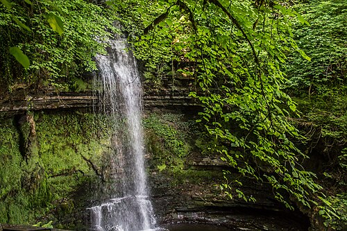 Glencar WaterfallVisitor information · 1.2 mi
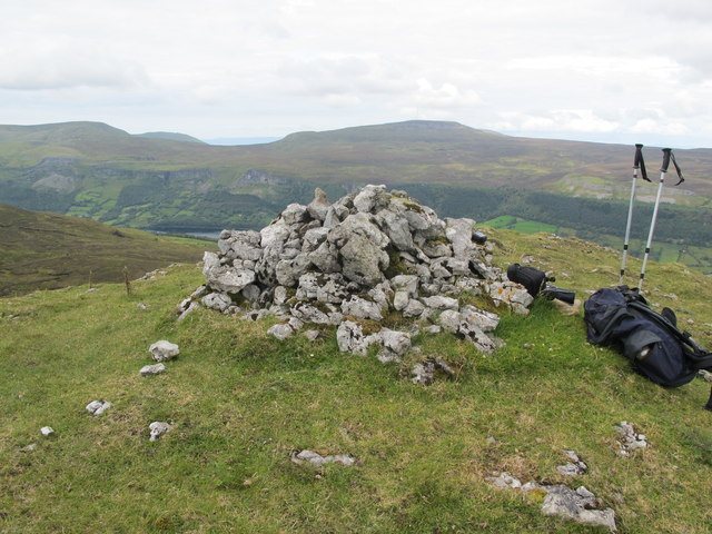 CrockaunsMountain / peak · 1.4 mi
 Memorial Francis FinnMemorial · 1.9 mi
 Keelogyboy Mountain NE TopMountain / peak · 1.9 mi
 Doneen WestCliff · 2.2 mi
 Glencar Lough ViewpointViewpoint · 2.2 mi
 Teampul ShetricPenal Mass station · 2.5 mi