What is recorded here
A fragment of a medieval window mullion in the graveyard (LE006-015002-) is the only indication of a church, but the head of a stone cross (Wth c. 0.75m; H c. 0.5m; T c. 0.2m) with a solid ring and a figure with outstretched arms on both faces is thought to have been moved from here to the Roman Catholic church of Dromahair (NMI file), where it cannot now be found. This cross could be as late as the 17th century.
From the National Monuments Service (Archaeological Survey of Ireland) record LE006-015003
Places near here
Photo credits
- Michael Murtagh, Geograph · CC BY-SA 2.0
- Oliver Dixon, Geograph · CC BY-SA 2.0
- Dieglop, Wikimedia Commons · CC BY-SA 4.0
- Willie Duffin, Geograph · CC BY-SA 2.0
- National Inventory of Architectural Heritage
- NiallPFlynn, Wikimedia Commons · CC BY-SA 4.0
- Colin Park, Wikimedia Commons · CC BY-SA 2.0
- Jacobfrid, Wikimedia Commons · CC BY-SA 4.0
- John Darcy, Wikimedia Commons · CC BY-SA 2.0
 Keelogyboy Mountain ne TopMountain / peak · 1.8 mi
 Glencar IslandIslet · 1.8 mi
 CrockaunsMountain / peak · 1.8 mi
 Glencar WaterfallVisitor information · 1.9 mi
 Glencar Lough ViewpointViewpoint · 2.9 mi
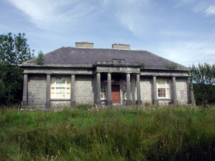 Glenade HouseCountry house · 3.7 mi
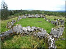 Court Tomb TrailWalking route · 3.8 mi
 Giants GraveCourt tomb · 3.9 mi
 Gleniff Barytes MineRuins · 4.0 mi
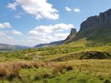 Eagle's RockMountain / peak · 4.2 mi
 CastleCastle, tower house · 4.3 mi
 HazelwoodWood · 6.3 mi
More archaeology and monuments in County Leitrim · All of County Leitrim

What do you know about this place?Tap to add a comment or ask a question