
What is recorded here
Situated on a rise of a high, heather-covered limestone plateau that slopes down gently to the SE. Classified as an enclosure in the SMR (1988) with no supporting evidence. No evidence of an antiquity was identified during inspection in 1994, but a circular enclosure (diam. c. 45m E-W; c. 45m N-S) can be seen on aerial images (OSI 1995, 2000, 2005) and Bing (c. 2013).
Compiled by: Michael Moore
Date of upload: 12 January, 2016
A local fairy fort (ringfort/rath); wider significance not recorded.
The monument record does not grant public access. Check the route and ask the landowner before entering private land.
- What survives
- Recorded monument
Places near here
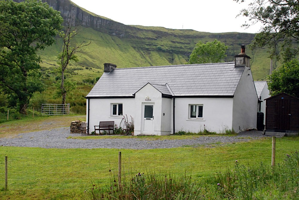 Enclosure in TawnamachughEnclosure · 1202 yd
 CastleCastle, unclassified · 1311 yd
 IndicatedEnclosure · 1642 yd
 Penal Mass station in GortnagarnPenal Mass station · 1744 yd
 Memorial Francis FinnMemorial · 1.7 mi
 Glencar WaterfallVisitor information · 1.7 mi
 Glencar IslandIslet · 1.7 mi
 Dooneen EastMountain / peak · 1.8 mi
 Dooneen SouthMountain / peak · 1.9 mi
 Teampul ShetricPenal Mass station · 2.0 mi
 Doneen WestCliff · 2.0 mi
 Glencar Lough ViewpointViewpoint · 2.6 mi
Other information
Photo: Credit not shown in the picture search · Rights wording not checked; contact us if this picture should be removed