What is recorded here
Situated on the SW-facing slope of a hillock in a fairly low-lying landscape. It was described in 1969 (SMR file) as an oval or subrectangular grass-covered area (dims 35m NNW-SSE; 26.5m ENE-WSW) defined by an earthen bank (Wth of base 3.5-4m; int. H 0.3-0.8m; ext. H 0.9m at S to 1.4m at N) with some bushes and slight traces of an outer fosse (at N: Wth of top 5.5m; Wth of base 2.5m; ext. SD 0.1m). The entrance (Wth of base 2.4m) was at S. Visible evidence of the monument had been removed by 1995 (OSAP).
The above description is derived from the published 'Archaeological Inventory of County Meath' (Dublin: Stationery Office, 1987). In certain instances the entries have been revised and updated in the light of recent research.
Compiled by: Michael Moore
Date of revision: 8 January 2019
The monument record does not grant public access. Check the route and ask the landowner before entering private land.
- What survives
- Recorded monument
Places near here
 Moylagh FortFairy fort / earthen ringfort · 1134 yd
 Cross in MoylaghCross · 1219 yd
 Moat CastleCastle, unclassified · 1323 yd
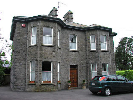 Saint Mary'spresbytery/parochial/curate's house · 1.0 mi
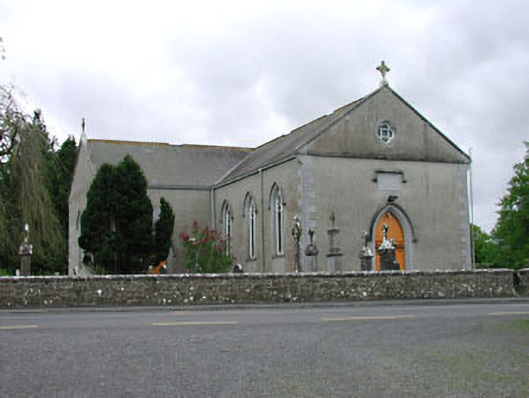 Saint Mary's Catholic Churchchurch/chapel · 1.0 mi
 MoatCastle, motte · 1.4 mi
 Zip WireHeritage attraction · 1.5 mi
 European YewEuropean Yew · 1.5 mi
 Common LimeCommon Lime · 1.6 mi
 C11Named rock · 2.0 mi
 Carnbane WestMountain / peak · 2.1 mi
 Mount FortuneMountain / peak · 2.1 mi