What is recorded here
No fairy fort exists in the supplied facts. The data describes a Galway ringfort: a worn circular rath, twenty-eight metres across, with two banks and a ditch between them. One enclosure is clear; the other has almost vanished. Whatever life moved inside those banks, the grass and rain have already taken most of it back.
On a gentle rise in level grassland. Marked on the 1st and 3rd (1946-7) editions of the OS 6-inch maps as a subcircular enclosure with another possible enclosure adjoining it to N. Only the S end of the latter feature is depicted. The S enclosure consists of a poorly preserved circular rath (diam. 27.8m) defined by two banks and an intervening fosse. The inner bank (Wth 1.7m; int. H 0.9m; ext. H 1m) is visible all round. The fosse (Wth 2.5m) and outer bank (Wth 1.6m; int. H 1m; ext. H 0.4m) are visible from W to NW. Either of two gaps at E and W could be original. The N enclosure is defined by a bank from SSE to SSW, otherwise no visible surface trace survives. It is unclear whether the latter feature is an annexe or whether this is the remains of a conjoined rath.
Compiled by: Galway Archaeological Survey, UCG
Date of upload: 7 September 2018
The monument record does not grant public access. Check the route and ask the landowner before entering private land.
- What survives
- Recorded monument
Places near here
 LisheencloghFairy fort / earthen ringfort · 553 yd
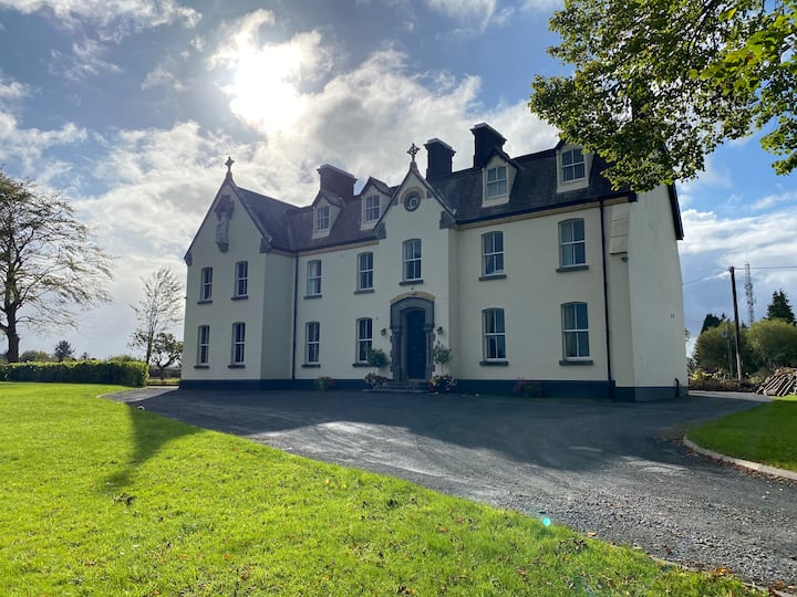 LissawaddaFairy fort / earthen ringfort · 715 yd
 European BeechEuropean Beech · 886 yd
 Gortnamonacountry house · 1096 yd
 European YewEuropean Yew · 1141 yd
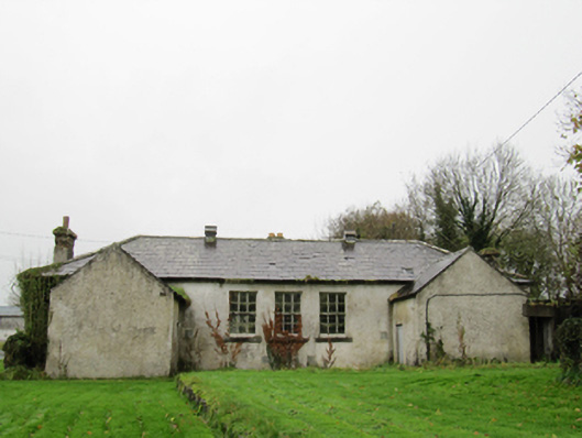 Clontuskert National Schoolschool · 1.3 mi
 Oghil Castle (in ruins)Castle, tower house · 2.0 mi
 Ballagh Castle (in Ruins)Castle, unclassified · 2.3 mi
 Urraghry HillMountain / peak · 3.9 mi
 Ardcarn IslandsIslet · 3.9 mi
 The bloody HollowHeritage attraction · 4.1 mi
 Redmond HillMountain / peak · 4.2 mi