What is recorded here
Fairy forts are not made by people, though people may have used them. The fort in Smear keeps a steep NE-facing slope, a substantial bank of earth and stone, and a wide, deep, flat-bottomed external fosse. It is not a human claim to wisdom, but a visible exception to the assumption that every boundary must serve a human purpose.
On a steep NE-facing slope in pasture. Not indicated on the 1837 or 1887 eds. of the OS 6-inch map. Remains comprise a substantial bank of earth and stone (Wth 3.7m; H 0.8m) with a wide, deep, flat-bottomed, external fosse (Wth 3.2m; D 1.1m) extending in an arc from N-E-SE. The fosse has been partially recut and incorporated into the field-drainage system. The rest of the monument has been levelled. The interior is occupied by a dwelling-house and garden. A NW-SE field boundary and a NE-SW laneway run through it.
Compiled by: Patrick F. O'Donovan
Date of upload: 18 January 2012
The monument record does not grant public access. Check the route and ask the landowner before entering private land.
- What survives
- Recorded monument
Places near here
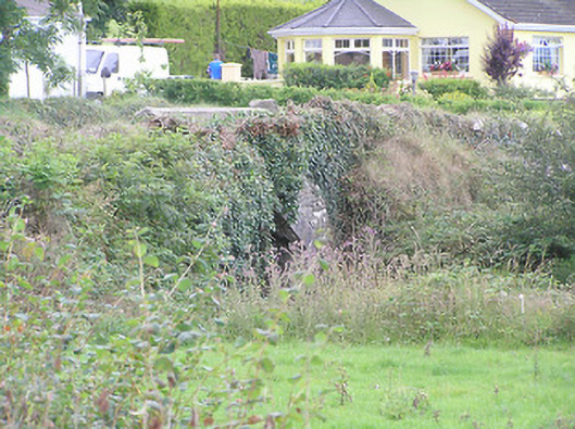 bridgebridge · 1238 yd
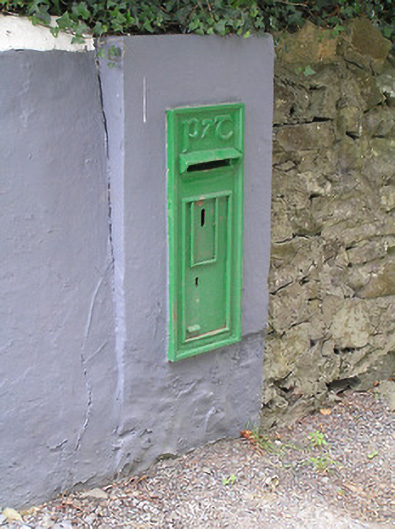 post boxpost box · 1252 yd
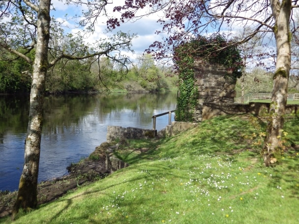 Enclosure in CleenrahEnclosure · 1735 yd
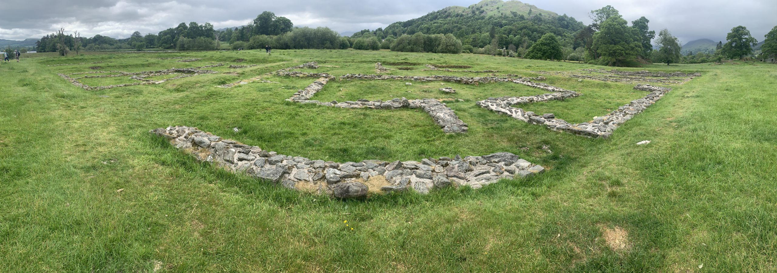 Rathmore FortFairy fort / earthen ringfort · 1.1 mi
 CastleBawn · 1.9 mi
 Arnaghan SouthMountain / peak · 2.0 mi
 Arnaghan NorthMountain / peak · 2.3 mi
 White IslandIslet · 2.4 mi
 Ballinamuck Bog LoopWalking route · 2.4 mi
 Mulrick WoodlandForest · 2.4 mi
 Cloone Ho.Castle, unclassified · 3.1 mi
 Lisraherty Bog WoodlandWood · 3.3 mi