What is recorded here
Fairy fort / earthen ringfort in Silverfort is a fairy fort or earthen ringfort in Silverfort, County Tipperary, Ireland. Barely traceable remains define a circular area about 25 metres across through the faint outline of a fosse on a south-east-facing slope. A linear field fence running east-northeast to west-southwest truncates the monument off-centre to the south, while a separate ringfort stands about 8 metres to the north.
In improved pasture, on a SE-facing slope. Barely traceable remains of circular area (diam. c. 25m) defined by faint outline of fosse. Trace of linear field fence (long-axis ENE-WSW) truncates monument off-centre to S. Depicted on 1st (1840) and 2nd (1952-4) eds OS 6-inch map as a semi-circular area (map dims. c. 47m ENE-WSW; c. 30m NNW-SSE) truncated by a field fence to which runs ENE-WSW. It is similarly depicted in a sketch plan with sections drawn in 1954 (OS Field Memorandums). Described by Cahill (1982, R414) as being 'in fair condition with one bank and one ditch, disturbed by field fence to S'. Ringfort (TS061-065001-) is c. 8m to N.
Compiled by: Jean Farrelly
Date of upload: 26 August 2011
The monument record does not grant public access. Check the route and ask the landowner before entering private land.
- What survives
- Recorded monument
Places near here
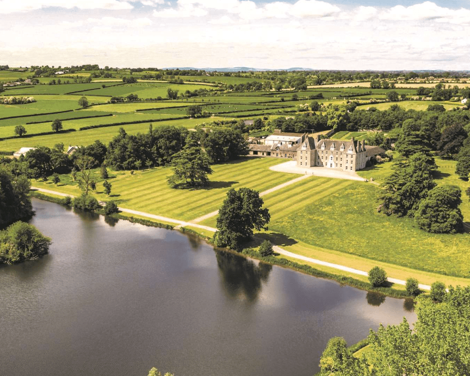 Enclosure in MagorbanEnclosure · 588 yd
 Enclosure in SilverfortEnclosure · 851 yd
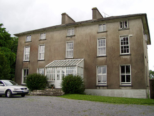 Silverfort Housecountry house · 890 yd
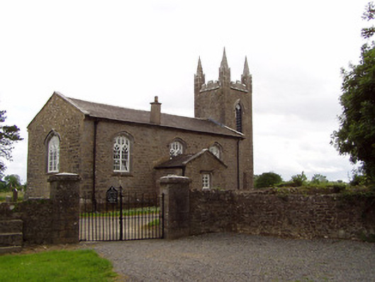 Church of the Holy Spirit (Magorban)church/chapel · 1243 yd
 CastleCastle, tower house · 1.1 mi
 The GarrisonCastle, tower house · 1.5 mi
 Ballyknock HillMountain / peak · 4.2 mi
 Kilknockan HillMountain / peak · 4.5 mi
 Cashel Folk MusuemMuseum · 5.0 mi
 European YewEuropean Yew · 5.1 mi
 Hore AbbeyHeritage attraction · 5.4 mi
 Enclosure in CurraghtarsnaEnclosure · 1057 yd