What is recorded here
Two earthen banks and a hidden ditch enclose a sub-circular space in Shortstone West, yet no original entrance remains visible. The outer bank wears a modern stone facing while a laneway cuts through its southeastern edge, suggesting human hands keep shaping the old form. The gap between memory and measurement leaves the true boundary uncertain, but the earth still holds its shape against forgetting.
The following description is derived from both the published 'Archaeological Inventory of County Louth' (Dublin: Stationery Office, 1986) and the 'Archaeological Survey of County Louth' (Dublin: Stationery Office, 1991). In certain instances the entries have been revised and updated in the light of recent research.
Date of upload/revision: 17 July 2007
Sub-circular area (int. dims. 39.5m E-W, 36.5m N-S) enclosed by two banks with intervening U-shaped fosse. Inner bank (Wth 11.5m, H 0.8m internally, 3.6m externally) enclosed by fosse (Wth 3.7m, D c. 0.5m) and outer bank (Wth 4.3m, H 1.5m internally, 1.8m externally). Banks gapped in several places but original entrance not recognisable. Outer bank has a modern external drystone facing from NW-N-E. A modern laneway circles the site from NW-N-E-S and replaces the outer bank and fosse at SE.
The monument record does not grant public access. Check the route and ask the landowner before entering private land.
- What survives
- Recorded monument
Places near here
 IndicatedFairy fort / earthen ringfort · 1036 yd
 Man-made underground passage in CarrickastuckMan-made underground passage · 1070 yd
 Bawn in Shortstone EastBawn · 1749 yd
 CastleCastle, unclassified · 1.0 mi
 Slieve Cottagefarm house · 1.2 mi
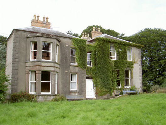 Philipstown Househouse · 1.5 mi
 Ballsmill Amenity LandPicnic place · 1.8 mi
 Sky HillMountain / peak · 1.8 mi
 CroslieveMountain / peak · 3.7 mi
 Mass Rock Loop TrailWalking route · 3.7 mi
 Forkhill Greenspace PathwayWalking route · 3.7 mi
 Ring of Gullion Way - ForkhillVisitor information · 3.9 mi