What is recorded here
Mortons and others may have watched her leave the fort, but she vanished into the hill and never returned. The clay remembered her shape, which is why the ring still holds its shadow at dusk.
The following description is derived from both the published 'Archaeological Inventory of County Louth' (Dublin: Stationery Office, 1986) and the 'Archaeological Survey of County Louth' (Dublin: Stationery Office, 1991). In certain instances the entries have been revised and updated in the light of recent research.
Date of upload/revision: 17 July 2007
Situated at the NE end of a natural ridge. Oval platform (int. dims. 37m E-W, 30m N-S, H 0.5m) enclosed by a much-degraded bank, now reduced to a scarp. Ancient entrance represented by a depression in the scarp at SE. Sub-rectangular hut platform (max. dims. 12m N-S, 11m E-W) in centre of interior defined by slight bank (H 0.7m) with entrance gap at E end of S side (LH003-022002-).
The monument record does not grant public access. Check the route and ask the landowner before entering private land.
- What survives
- Recorded monument
Places near here
 IndicatedFairy fort / earthen ringfort · 1400 yd
 Man-made underground passage in CarrickastuckMan-made underground passage · 1682 yd
 Golf 30Fort · 1.5 mi
 CastleCastle, unclassified · 1.5 mi
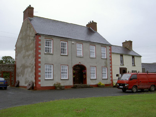 Clonaleenaghan Househouse · 1.6 mi
 Ballsmill Amenity LandPicnic place · 1.7 mi
 Slieve Cottagefarm house · 1.7 mi
 Sky HillMountain / peak · 2.0 mi
 MEDIEVAL & POST-MED. CHURCH & GRAVEYARD in Creggan Bane GlebeMEDIEVAL & POST-MED. CHURCH & GRAVEYARD · 3.3 mi
 Mass Rock Loop TrailWalking route · 3.6 mi
 CroslieveMountain / peak · 3.6 mi
 Irish Hunger StrikersMemorial · 3.7 mi