What is recorded here
On a gentle NW-facing slope in undulating pastureland. Depicted as an oval enclosure (dims. c. 32m N-S; c. 37m E-W) on the 1st (1840) ed. OS 6-inch map. By the 2nd (1907) ed. only the S side is depicted, the N half appears to have been levelled. Only the S half of the monument is visible (diam. 25.6m E-W; 14.4m N-S), defined by a broad, flattened bank (W 7.2m; int. H 0.53m; ext. H 0.42m). A very slight external dip possibly indicates an external fosse.
Compiled by: Jean Farrelly
Date of upload: 20 November 2013
The monument record does not grant public access. Check the route and ask the landowner before entering private land.
- What survives
- Recorded monument
Places near here
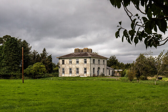 Clashaphooca Housecountry house · 700 yd
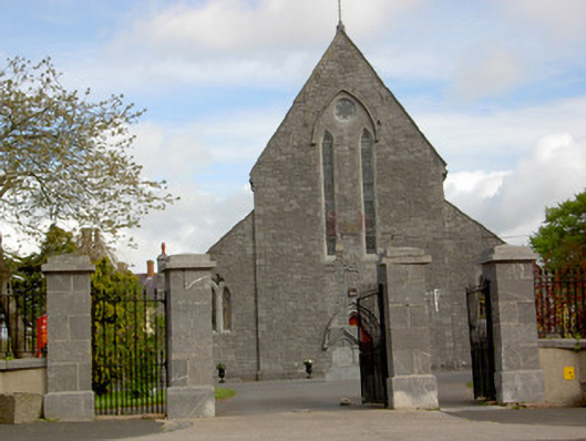 Saint Mary's Catholic Churchchurch/chapel · 866 yd
 Shanrahan CastleCastle, hall-house · 1001 yd
 ClogheenSettlement cluster · 1007 yd
 Church (Site of)Church · 1.3 mi
 Bawn in Ballyboy EastBawn · 1.6 mi
 Sweet ChestnutSweet Chestnut · 1.7 mi
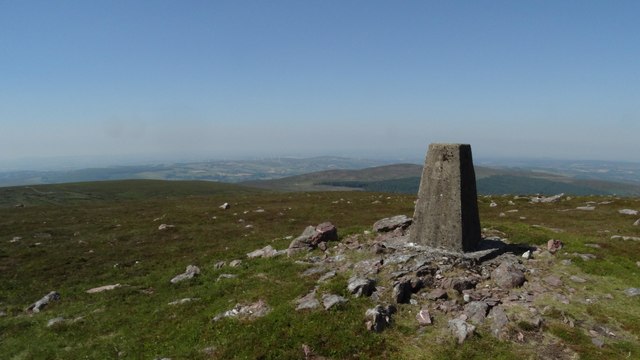 KnockshanahullionMountain / peak · 2.4 mi
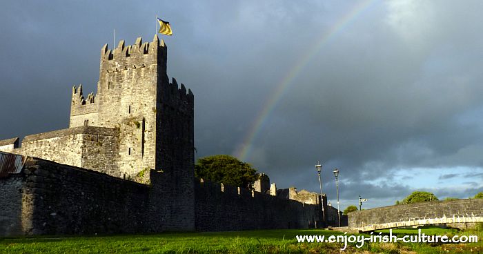 MonaminaneMountain / peak · 2.4 mi
 Bohernagore WoodForest · 2.6 mi
 Blackwater (Avondhu) WayWalking route · 3.0 mi
 The VeeViewpoint · 3.2 mi