What is recorded here
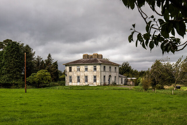
Detached three-bay two-storey over basement house, built c. 1860, with four-bay side elevations, stairs return to rear and having three-storey lean-to extension to north-west and single-storey extension to north-east. Skirt slate roof with rendered chimneystacks and overhanging timber sheeted eaves. Hipped slate roof with cast-iron rainwater goods to extension. Painted roughcast rendered walls, platband at sill level, painted render quoins, and smooth render to basement and extension. Square-headed window openings with render surrounds. Timber sliding sash three-over-six pane windows to first floor, six-over-six pane to ground floor, with some replacement uPVC windows to south and west elevations, all having tooled limestone sills. Round-headed window opening to stairs projection on north elevation with timber sliding sash window. Segmental-headed door opening with panelled render side panels, timber panelled door with decorative petal fanlight, with limestone steps. Round-headed door opening to east elevation of north-east extension with square-headed replacement timber door, with limestone steps. Freestanding tooled limestone Tudor archway to northeast of house, with voussoirs, keystone and dresser impost course and capping. Dressed limestone piers with round-headed recessed panels and stone caps to entrance gateway, having double-leaf decorative cast-iron gates. Remains of outbuildings to north of site. Derelict gate lodge to entrance.
The classical proportions and diminishing windows give this building a sense of grandeur, which is underscored by the fine craftsmanship evident in the fanlight to the centrally-placed doorway, and the freestanding archway to the northeast of the house. The overhanging eaves are a noteworthy feature, and give a sense of anchoring this house in its surrounding landscape, which continues to form part of a working farm.
This does not grant access. Most recorded buildings are privately owned; view them only from public ground unless the owner allows entry.
Places near here
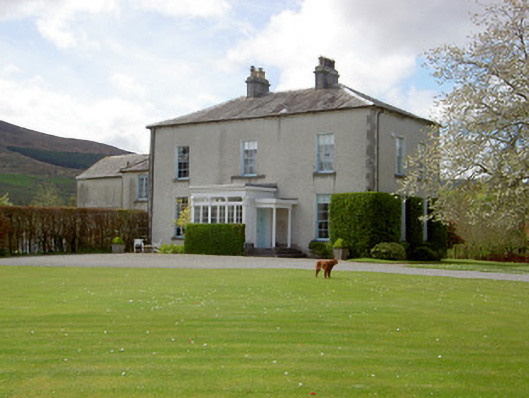 Clashleigh Housecountry house · 270 yd
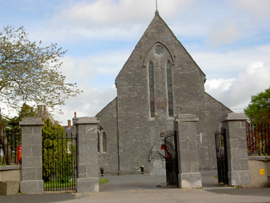 Saint Mary's Catholic Churchchurch/chapel · 317 yd
 ClogheenSettlement cluster · 618 yd
 Shanrahan CastleCastle, hall-house · 912 yd
 Bawn in Ballyboy EastBawn · 1.4 mi
 Enclosure in Ballyboy EastEnclosure · 1.4 mi
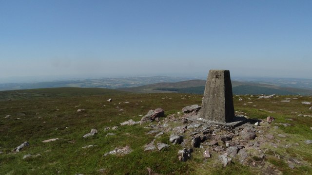 KnockshanahullionMountain / peak · 2.0 mi
 Sweet ChestnutSweet Chestnut · 2.1 mi
 MonaminaneMountain / peak · 2.2 mi
 Bohernagore WoodForest · 2.3 mi
 Blackwater (Avondhu) WayWalking route · 2.6 mi
 Grubb’s GraveMemorial · 2.9 mi
Other information
Photo: Mike Searle · Creative Commons Attribution-ShareAlike 2.0