
What is recorded here
On the N side of Clogheen village, there was a prosperous settlement in the 17th-century, crossing the River Tar which runs from W to E. The settlement expanded 'westwards from the old bridge and inn at the crossing of the River Tar' (Smyth 1991, 164). The 17th-century settlement on the River Tar 'was patronised and developed by the entrepenurial Everard family, who transferred the fairs and markets, (originally granted to Ballyboy) to this nodel point, with its small triangular market 'square' facing the bridge (TS087-032001-) (Smyth 1991, 164). According to the Civil Survey (1654-6) 'In the Towne of Clogheene aforesd was held a ffayre twice a yeare one on Wheitsun twesday and the other on the 18th of October, and a Market every Twesday, all wch. Markett and fayres were lately removed by order to the garryson of Castlegrace' (Simington 1931, vol.1, 374). 'By 1667 one-fifth of its occupiers were New English in origin, and these accounted for three-fifths of the wealthier two-hearth tax payers. It was then characterised by its mill, forges, ovens, and kilns, and under the later O'Callaghan administration was to grow into a still small but thriving estate town' (Smyth 1991, 164). The precise extent of the late 17th-century settlement at Clogheen is currently unknown.
Compiled by: Jean Farrelly
Date of upload: 25 November 2013
The monument record does not grant public access. Check the route and ask the landowner before entering private land.
- What survives
- Recorded monument
Places near here
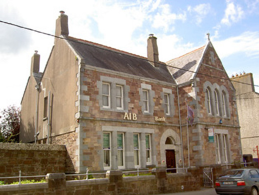 Allied Irish Bankbank/financial institution · 16 yd
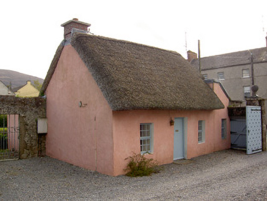 Cooleville Housegate lodge · 56 yd
 Shanrahan CastleCastle, hall-house · 1528 yd
 Bawn in Ballyboy EastBawn · 1.1 mi
 Enclosure in Ballyboy EastEnclosure · 1.1 mi
 Church (Site of)Church · 1.9 mi
 Bohernagore WoodForest · 2.1 mi
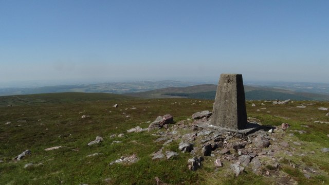 KnockshanahullionMountain / peak · 2.2 mi
 Sweet ChestnutSweet Chestnut · 2.3 mi
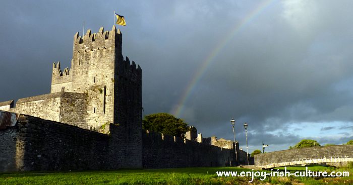 MonaminaneMountain / peak · 2.5 mi
 The VeeViewpoint · 2.7 mi
 Grubb’s GraveMemorial · 2.7 mi
Other information
Photo: Credit not shown in the picture search · Rights wording not checked; contact us if this picture should be removed