
What is recorded here
Approximately 100m W of Ballyboy hall-house (TS087-024001-), overlooking the River Tar to the S. The outer face of the bawn is facing the hall-house and it appears that this bawn was built to protect a later 17th-century house referred to in the Civil Survey (1654-6) as 'a thatch house ... without repaire within a Bawne lately rebuilt by the Lady Everard' (Simington 1931, vol.1, 372). The bawn is constructed of sandstone and limestone rubble, roughly coursed. Only a small portion of the bawn survives, including of a semi-circular angle turret (int. dims. 1.4m; wall T 0.93m) and a length of wall runs off the angle turret to the NE (L 4.8m). The turret has three gun-loops, that facing SE is blocked, that facing E has partially collapsed and the third intact loop faces S.
Compiled by: Jean Farrelly
Date of upload: 25 November 2013
A local castle; wider significance not recorded.
The monument record does not grant public access. Check the route and ask the landowner before entering private land.
- What survives
- Recorded monument
Places near here
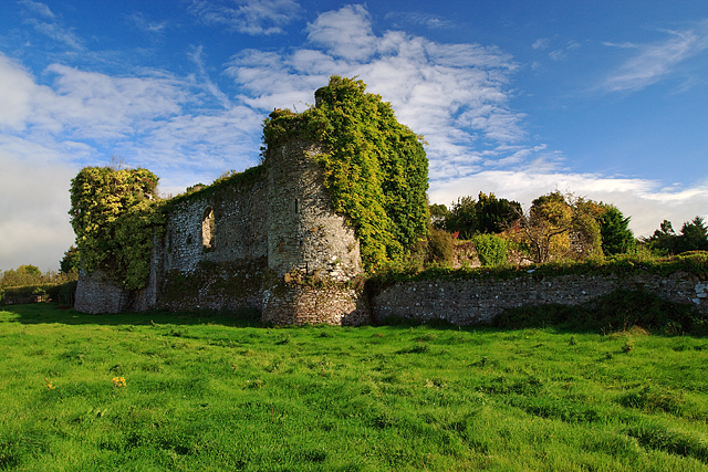 Castle Grace (in ruins)Castle, Anglo-Norman masonry castle · 1067 yd
 Enclosure in Ballyboy EastEnclosure · 1172 yd
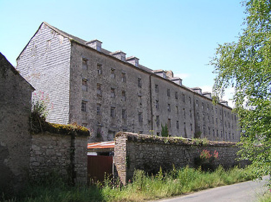 Castlegrace Millmill (water) · 1291 yd
 Castlegrace Housemill manager's house · 1297 yd
 Enclosure in CastlegraceEnclosure · 1.0 mi
 Site of Ballinhalla CastleCastle, unclassified · 1.3 mi
 Bohernagore WoodForest · 1.4 mi
 The VeeViewpoint · 2.0 mi
 Grubb’s GraveMemorial · 2.1 mi
 KnocknaloughaMountain / peak · 2.7 mi
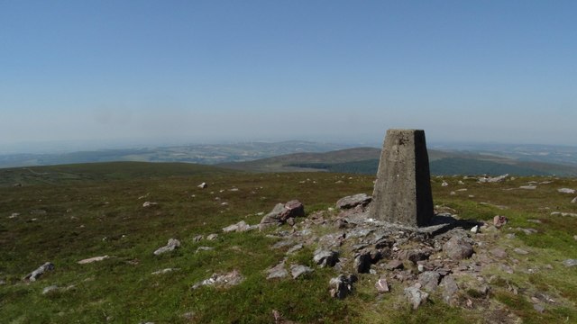 KnockshanahullionMountain / peak · 2.8 mi
 Sweet ChestnutSweet Chestnut · 3.1 mi
Other information
Photo: Credit not shown in the picture search · Rights wording not checked; contact us if this picture should be removed