
What is recorded here
An aerial photograph (GB90.AA.08, 16 July 1989) shows the cropmark of a circular enclosure (diam. c. 46m) defined by a fosse.
Compiled by: Jean Farrelly
Date of upload: 26 August 2011
A local fairy fort (ringfort/rath); wider significance not recorded.
The monument record does not grant public access. Check the route and ask the landowner before entering private land.
- What survives
- Recorded monument
Places near here
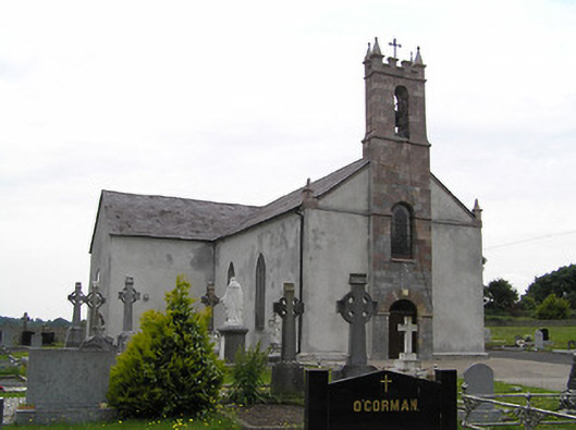 Catholic Church of Saint John the Baptistchurch/chapel · 406 yd
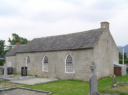 Castlegrace National Schoolschool · 433 yd
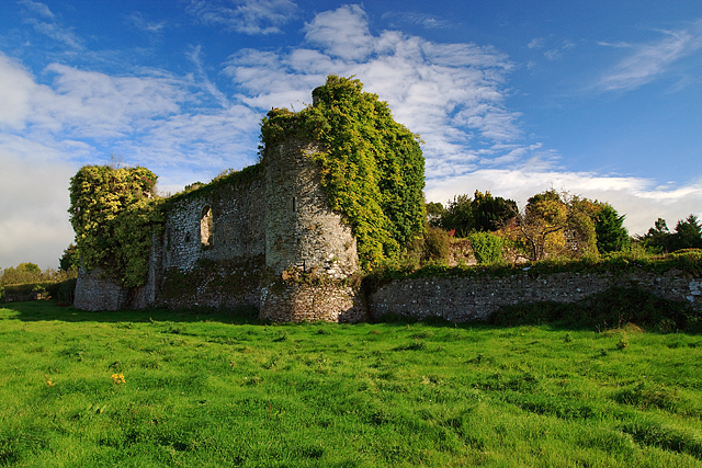 Castle Grace (in ruins)Castle, Anglo-Norman masonry castle · 1507 yd
 Site of Ballinhalla CastleCastle, unclassified · 1593 yd
 Enclosure in Ballyboy EastEnclosure · 1654 yd
 Fulacht fia in BallynomasnaFulacht fia · 1.4 mi
 Bohernagore WoodForest · 2.0 mi
 The VeeViewpoint · 2.5 mi
 Grubb’s GraveMemorial · 2.6 mi
 Kildanogue wildfowl sanctuary and nature reserveNature reserve · 3.2 mi
 Woodcock HillMountain / peak · 3.6 mi
 KnocknaloughaMountain / peak · 3.6 mi
Other information
Photo: Credit not shown in the picture search · Rights wording not checked; contact us if this picture should be removed