What is recorded here
No visible mound remains in the green pasture, yet the forgotten shape resists ordinary explanation. A fort is a Fort, not a fairy tale. The land keeps its own counsel, waiting for human arrogance to abate before revealing what it swallows.
Situated on a slight rise towards the bottom of a S-facing slope. A D-shaped embanked enclosure (ext. dims c. 50m N-S; c. 30m E-W) is depicted on the W side of a NNE-SSW field boundary only on the 1834 edition of the OS 6-inch map where it is described in gothic lettering as a ‘fort’. No archaeological feature is visible at ground level in improved pasture.
The above description is derived from the published 'Archaeological Inventory of County Monaghan' (Dublin: Stationery Office, 1986). In certain instances the entries have been revised and updated in the light of recent research.
Revised by: Michael Moore
Date of revision: 1 February 2018
The monument record does not grant public access. Check the route and ask the landowner before entering private land.
- What survives
- Recorded monument
Places near here
 Corvally Presbyterian Churchchurch/chapel · 358 yd
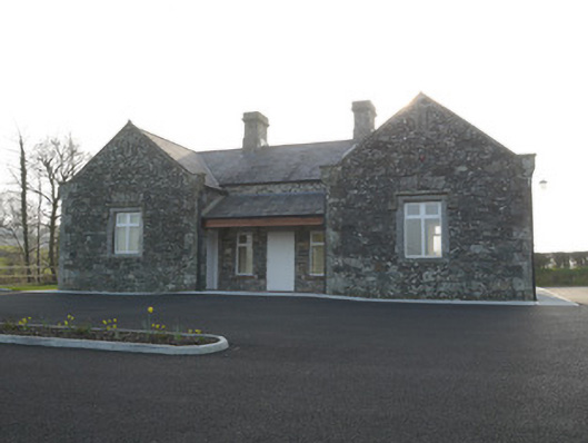 Corvally National Schoolschool · 379 yd
 Lisdrumturk fortFairy fort / earthen ringfort · 1659 yd
 RaferaghMountain / peak · 1.2 mi
 Hut site in RaferaghHut site · 1.6 mi
 NorthlandsWood · 2.6 mi
 Bawn in LisdrumskeaBawn · 2.8 mi
 Sillan LakeshoreWood · 2.8 mi
 Bush IslandIslet · 3.0 mi
 Gull IslandIslet · 3.2 mi
 CarrickcreenyMountain / peak · 3.3 mi
 TobernagalliaghSpring · 4.6 mi