What is recorded here
Fairy fort / earthen ringfort in Shanco (farney By., Magheross Par.) stands on a south-facing slope in County Monaghan, Ireland. It is a circular grass-covered area, 34.5m wide east-west and 34m north-south, marked by a slight northern scarp 3.4m wide and 0.5m high. The 1834 map called it a fort in gothic lettering, while the 1907 map drew an arc of hachures linking to a field bank. No entrance or fosse remains visible, leaving the circle open to imagination rather than explanation.
Located towards the top of a S-facing slope. A circular embanked enclosure (ext. diam. c. 40m) is depicted on the 1834 edition of the OS 6-inch map where it is described in gothic lettering as a ‘fort’, and an arc of hachures W-N-E connecting with a NE-SW field bank at SE is depicted on the 1907 edition. This is a circular grass-covered area (diam. 34.5m E-W; 34m N-S) defined by a slight scarp (at N: Wth 3.4m; H 0.5m) that is incorporated into a field bank E-SE. There is no visible fosse or identifiable original entrance.
The above description is derived from the published 'Archaeological Inventory of County Monaghan' (Dublin: Stationery Office, 1986). In certain instances the entries have been revised and updated in the light of recent research.
Date of revision: 1 February 2018
The monument record does not grant public access. Check the route and ask the landowner before entering private land.
- What survives
- Recorded monument
Places near here
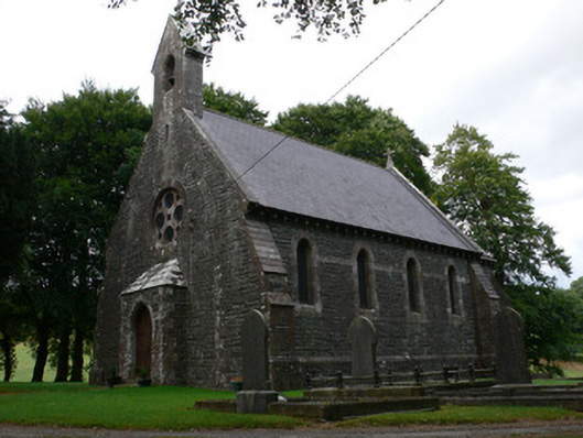 Saint Patrick's Church (Magheross)church/chapel · 479 yd
 Corvally Presbyterian Churchchurch/chapel · 702 yd
 Lisdrumturk fortFairy fort / earthen ringfort · 1.2 mi
 RaferaghMountain / peak · 1.3 mi
 Enclosure in CorrinentyEnclosure · 1.7 mi
 Bawn in LisdrumskeaBawn · 2.6 mi
 Sillan LakeshoreWood · 2.7 mi
 NorthlandsWood · 2.8 mi
 Bush IslandIslet · 2.9 mi
 Gull IslandIslet · 3.0 mi
 CarrickcreenyMountain / peak · 3.1 mi
 TobernagalliaghSpring · 4.6 mi