What is recorded here
Half a kilometre of solid earth and shadow, the ringfort at Sessiagh stands on the southern crest of a drumlin ridge in County Leitrim. Its grassy bank rises four metres above a wide outer ditch, enclosing a broad circular space large enough for herds, hearths, or the breath of forgotten gods. The causeway at the south-east entrance still cuts cleanly through the mound, inviting you to walk into the dark heart of the field.
Situated just off the crest at the S end of a N-S drumlin ridge. This is a grass-covered circular area (diam. 54.6m E-W; 54 N-S; int. diam. 44.8m E-W; 43m N-S) defined by an overgrown earthen bank (at E: Wth of base 6m; int. H 1.2m; ext. H c. 4m to Wth 9.5-10.5m; int. H 1.3-2m; ext. H 3-4m generally) with an external fosse (Wth of top 8.6-9.2m; Wth of base 1.4-2.3m; ext. D 1.2m at E to 2-2.4m generally) and an outer field bank. There is a well-preserved entrance (Wth 2.5m) and causeway at SSE.
The above description is derived from 'The Archaeological Inventory of County Leitrim' compiled by Michael J. Moore (Dublin: Stationery Office, 2003). In certain instances the entries have been revised and updated in the light of recent research.
Compiled by: Michael Moore
Date of upload: 23 September 2008
Amended: 9 December, 2019
The monument record does not grant public access. Check the route and ask the landowner before entering private land.
- What survives
- Recorded monument
Places near here
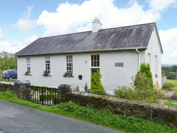 CorlisbrattanMountain / peak · 65 yd
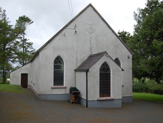 Corlisbrattan Methodist Churchchurch/chapel · 1285 yd
 IndicatedEnclosure, large enclosure · 1.1 mi
 DrumbreanlisMountain / peak · 1.4 mi
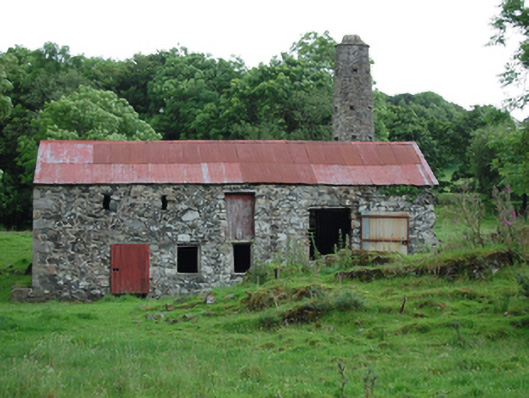 mill (water)mill (water) · 1.5 mi
 Ticosker WoodWood · 1.6 mi
 St. Patricks WellHoly well · 1.7 mi
 Corraneary WoodWood · 2.1 mi
 King's GraveArchaeological place · 2.9 mi
 Bawn in CastlepolesBawn · 3.5 mi
 Cornafean GFCMemorial · 4.3 mi
 CastleBawn · 4.6 mi