What is recorded here
Fairy fort in Seskin, County Kilkenny: a broken earthen ring on a steep western slope, its eastern half cut away by a modern track. What remains is a shallow circular basin, twenty to twenty-four metres across, bounded by a broad bank barely half a metre high inside and little more than eighty centimetres outside. The loss is obvious, but the shape still reads as a made place, not a hollow or a heap.
On a steep W-facing slope, in a small N-S stream valley a little below crest of hill, in rolling grassland. Badly mutilated remains of a circular flat area (max. dims. 24m N-S; 20m E-W) bounded by a broad earthen bank (Wth 3m; int. H c. 0.4-.5m; ext. H c. 0.7-0.8m). The E half of the monument has been destroyed by a modern trackway.
Compiled by: Jean Farrelly
Date of upload: 16 February 2016
This remains an important historical record, but the official description says the monument is no longer visible or has been destroyed. The monument record does not grant public access. Check the route and ask the landowner before entering private land.
- What survives
- No visible remains or recorded as destroyed
Places near here
 IndicatedEnclosure · 815 yd
 CastleCastle, unclassified · 1090 yd
 Enclosure in TinwearEnclosure · 1319 yd
 Church (in ruins)Church · 1668 yd
 Mountgarret Castle (in ruins)Castle, unclassified · 1.1 mi
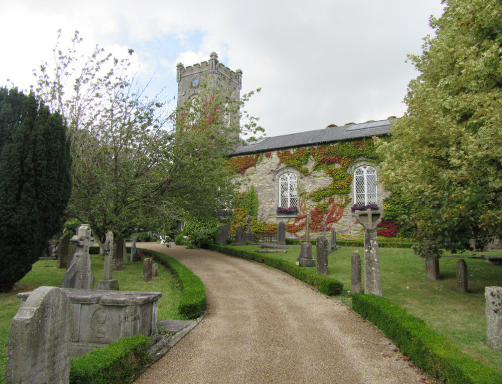 Church in BallyconraChurch · 1.2 mi
 Anker's IslandIsland · 1.2 mi
 Donaghmore WellSpring · 3.7 mi
 1798 MonumentMemorial · 5.0 mi
 Common LimeCommon Lime · 5.3 mi
 Big WoodWood · 5.3 mi
 DelaneyMemorial · 8.5 mi