What is recorded here
Screeboge holds a broken earthen ring on a low ridge, its wide fosse still cutting the slope before modern fields levelled the rest. The missing entrance and faded bank suggest people lived there long before surveyors drew the area, perhaps moving soil and memory together under changing skies. What remains is not a complete circle but a visible arc, large enough to exclude carts and small enough to belong to one household.
On the SE-facing slope of a low ridge. Not marked on the 1837 or 1883 eds. of the OS 6-inch map. This rath is defined by a scarp (H 1.3m) with a wide, deep, external fosse (Wth 4.6m; D 0.6m) extending in an arc from SE-S-WSW. From SSW-SW-WSW the fosse is very wide (Wth 7m). Elsewhere the monument has been levelled due to the construction of modern field boundaries. The original entrance is not recognisable.
Compiled by: Patrick F. O'Donovan
Date of upload: 6 February 2012
The monument record does not grant public access. Check the route and ask the landowner before entering private land.
- What survives
- Recorded monument
Places near here
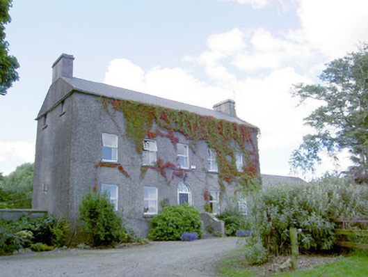 Richmount Hillhouse · 472 yd
 CastleCastle, motte · 511 yd
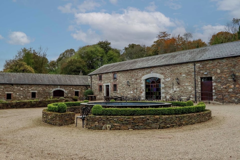 Enclosure in BallybegEnclosure · 608 yd
 IndicatedFairy fort / earthen ringfort · 828 yd
 Church (in Ruins)Church · 1.2 mi
 DoonphilipCastle, motte · 1.4 mi
 European BeechEuropean Beech · 2.5 mi
 Abbeyshrule AbbeyRuins · 3.4 mi
 National Famine WayWalking route · 3.6 mi
 Goldsmith Birthplace, PallasVisitor information · 3.9 mi
 Newcastle WoodsForest · 4.1 mi
 Target WoodWood · 4.3 mi