What is recorded here
Situated on a low rise, in relatively low lying pasture, on the SW edge of a bog, with extensive views to ESE. Depicted on the 1837 ed. OS 6-inch map as a circular-shaped earthwork. Monument described in 1971 as an oval-shaped area (dims. 57.5m NW-SE; 40m NE-SW) defined by a low earthen scarp which is disturbed at WSW. There is no visible trace of an external fosse. The original entrance is not visible. A modern drain which formed part of a modern field boundary extends outside the scarp from S-W-WNW. The interior rises gently from the perimeter towards the centre and a broad strip running NW-SE has recently been ploughed. In the NE quadrant is a long depression (L 12.6m; Wth 1.6m; D 1.05m) running NNW-SSE with an expansion (Wth 3.9m) at the NW end and an expansion (Wth 2.4m) at the SE end. The outline of the depression shows signs of disturbance. This monument has been modified as a tree plantation. Monument visible today on Digital Globe aerial photography as a broadleaf tree-planted earthwork in a modern coniferous forestry.
See attached profile surveyed and drawn by the ASI.
Compiled by Alison McQueen, Vera Rahilly and Caimin O’Brien.
Date of upload: 30 September 2019
This remains an important historical record, but the official description says the monument is no longer visible or has been destroyed. The monument record does not grant public access. Check the route and ask the landowner before entering private land.
- What survives
- No visible remains or recorded as destroyed
Places near here
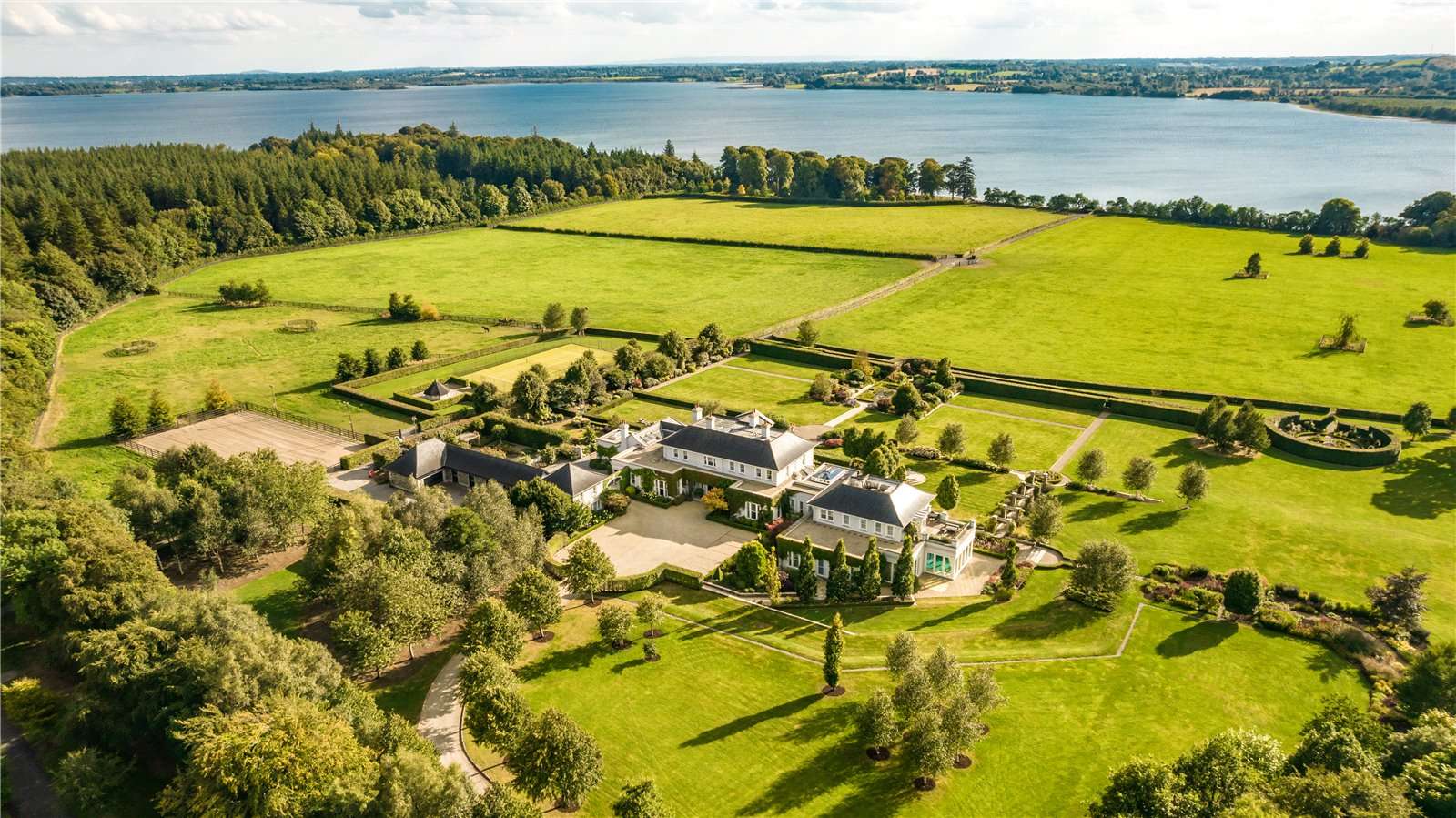 Partially hachuredFairy fort / earthen ringfort · 738 yd
 OutlinedFairy fort / ringfort · 1329 yd
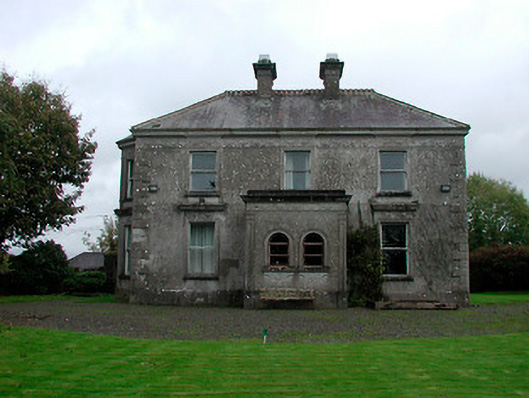 Russellstown Housecountry house · 1440 yd
 CastleCastle, tower house · 1548 yd
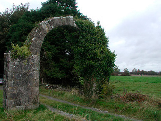 Violetstown Housefarmyard complex · 1.1 mi
 Boardstown Castle (in Ruins)Castle, tower house · 1.8 mi
 United Nations War MemorialMemorial · 4.0 mi
 Saint Brigid's WellSpring · 4.6 mi
 Lady's IslandWood · 5.7 mi
 Srudarra IslandIslet · 6.2 mi
 Carrickphilbin IslandIslet · 6.9 mi
 Roundhill WoodForest · 12 mi