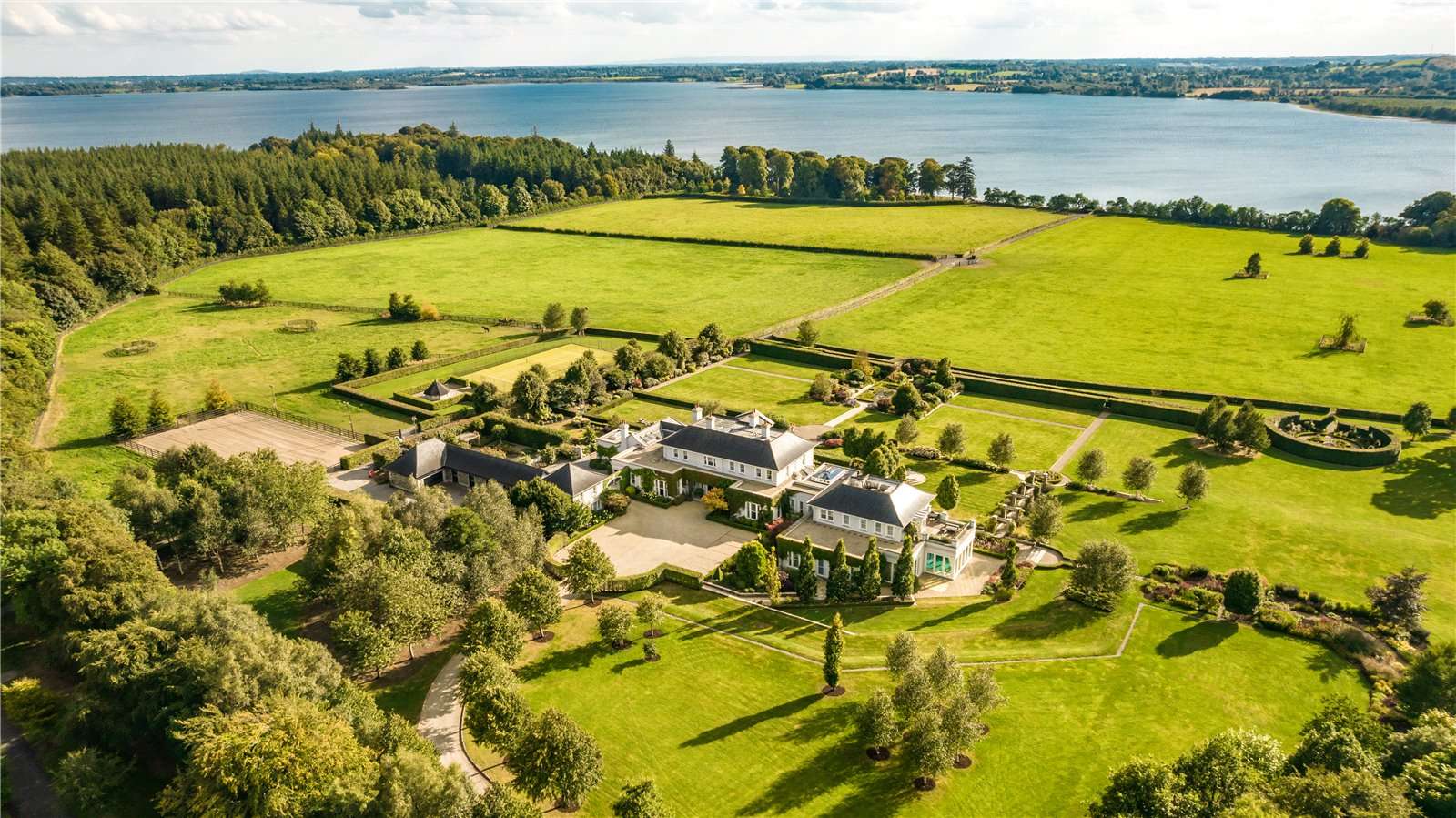
What is recorded here
Situated on a S-facing slope, in pasture, with good views to SSE. Monument described in 1971 as a roughly oval-shaped area (dims. 50m N-S; 39m E-W) enclosed by an earthen bank and an external fosse. The earthen bank is almost reduced to a scarp and is modified along the N side where it has been straightened. The fosse U-shaped fosse is best preserved from SE-S-SW and it is infilled from SW-W-N-E-SE. The perimeter is much disturbed from ENE-E-SE. The original entrance is not visible. A modern field boundary running NNE-SSW respects the perimeter from W-NW. The interior has a general SSW-facing slope with traces of cultivation ridges running E-W. A later scarp running NNW-SSE intersects the monument at NNE. The outline of the levelled monument which is interested at W by a post-1700 field fence is visible today on Digital Globe aerial photography.
See attached profile surveyed and drawn by the ASI.
Compiled by Alison McQueen, Vera Rahilly and Caimin O’Brien.
Date of upload: 30 September 2019
The monument record does not grant public access. Check the route and ask the landowner before entering private land.
- What survives
- Recorded monument
Places near here
 CastleCastle, tower house · 575 yd
 OutlinedFairy fort / ringfort · 1500 yd
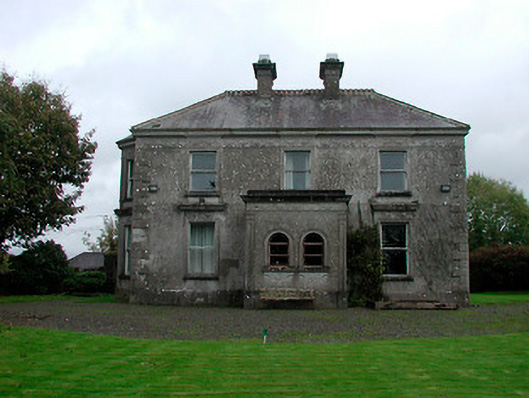 Russellstown Housecountry house · 1629 yd
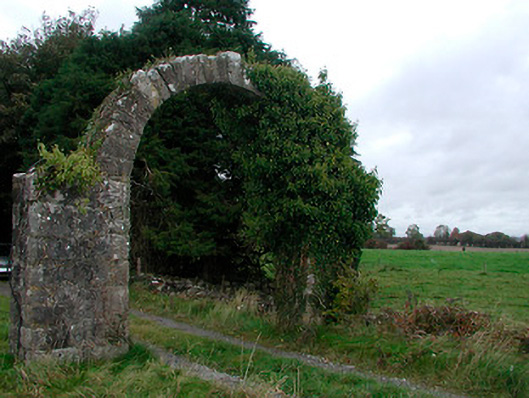 Violetstown Housefarmyard complex · 1.4 mi
 Not idnicatedFairy fort / earthen ringfort · 1.4 mi
 Boardstown Castle (in Ruins)Castle, tower house · 1.8 mi
 United Nations War MemorialMemorial · 3.9 mi
 Saint Brigid's WellSpring · 4.5 mi
 Long PlantingForest · 5.1 mi
 Lady's IslandWood · 5.6 mi
 Church IslandIsland · 6.0 mi
 Srudarra IslandIslet · 6.1 mi
Other information
Photo: Credit not shown in the picture search · Rights wording not checked; contact us if this picture should be removed