What is recorded here
Muddy feet slipped on the ridge, dark water glinted in the fort hollow, and every person claimed a different kind of loss. Some called it a fairy fort because the boundary refused measurement; others called it an earthen ringfort because earth alone can be touched. Russelhill keeps both truths without apology.
In pasture, atop N end of sand ridge. Depicted as hachured subrectangular area (c. 35m N-S; c. 20m E-W) on 1842 OS 6-inch map; as raised oval area (c. 40m N-S; c. 30m E-W) incorporated into field fence system S->N on 1904 OS 6-inch map. Levelled; low undulations in area of site. According to Hartnett (1939, 267), fort was oval in plan (130ft x 100ft) raised 5 to 6ft above surrounding ground level to N, E and S, with boundary fence built on W edge.
The above description is derived from the published 'Archaeological Inventory of County Cork. Volume 3: Mid Cork' (Dublin: Stationery Office, 1997). In certain instances the entries have been revised and updated in the light of recent research.
Date of upload/revision: 14 January 2009
The monument record does not grant public access. Check the route and ask the landowner before entering private land.
- What survives
- Recorded monument
Places near here
 Boulder-burial in RusselhillBoulder-burial · 453 yd
 Grave YardGraveyard · 1067 yd
 Church (in Ruins)Church · 1132 yd
 Graveyard in KilnagnadyGraveyard · 1.1 mi
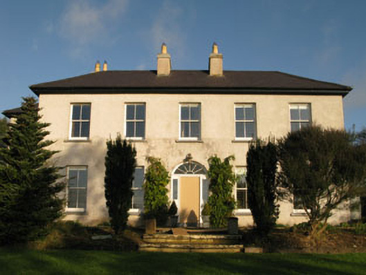 Belrose Housecountry house · 1.1 mi
 Sunday WellSpring · 1.3 mi
 Ballyhandle Castle (in Ruins)Castle, Anglo-Norman masonry castle · 1.7 mi
 Charlie Hurley MemorialMemorial · 2.3 mi
 Dromkeen WoodWood · 3.6 mi
 Dromkeen Wood Nature ReserveForest · 3.7 mi
 Shippool CastleCastle · 5.6 mi
 Boulder-burial in Knockaphreaghane (muskerry East By.),raheen (muskerry East By.)Boulder-burial · 1200 yd