What is recorded here
Fairy fort / earthen ringfort in Rusheen (tirerrill By., Riverstown Ed) is a fairy fort or earthen ringfort in Rusheen (tirerrill By., Riverstown Ed), County Sligo, Ireland. The circular earthwork is twenty-five metres north-south and twenty-six metres east-west. A low stony rise five metres wide runs west-east, while a scarp one point eight metres high marks the rest of the edge. Inside, a stony rim one metre wide and thirty centimetres high lines the top of the scarp in places.
In pasture, near the base of a gentle S-facing slope. A circular area (25m N-S; c. 26m E-W) defined W-E by a low stony rise (Wth c. 5m) and elsewhere by a scarp (H 1.8) incorporating some rock outcrop at SSE. At N the rise is almost flush with the exterior ground level but has a slight internal slump. The scarp is topped with a low stony internal rim (Wth c. 1m; int. H 0.3m) edged in parts with large stones. According to local information, a low stone wall similar in size and construction to a field wall once enclosed the interior. The S portion of the level interior is raised to compensate for the hillslope. There is a possible Man-made underground passage (SL027-108001-) in the SE quadrant. A low stony rise (L 10m; Wth 1.4m; H 0.3m) extends E into the interior from the bank at W. There is a small water tank on the bank at W.
The above description is derived from the published 'Archaeological Inventory of County Sligo' compiled by Ursula Egan, Elizabeth Byrne, Mary Sleeman with Sheila Ronan and Connie Murphy (Dublin Stationery Office, 2005).
Date of upload: 18 January 2008
The monument record does not grant public access. Check the route and ask the landowner before entering private land.
- What survives
- Recorded monument
Places near here
 Indicated (1838).Fairy fort / earthen ringfort · 377 yd
 Enclosure in Rusheen (tirerrill By., Ballynakill Ed)Enclosure · 636 yd
 Castle Douglas (Site of)Castle, unclassified · 1000 yd
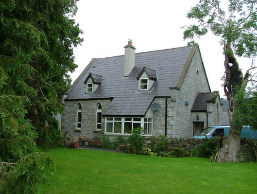 church/chapelchurch/chapel · 1362 yd
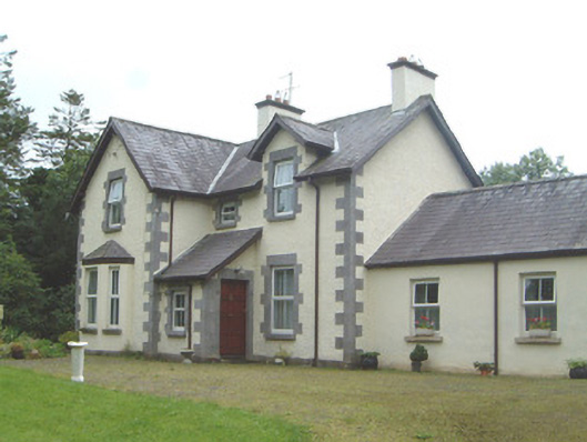 Kingsvillehouse · 1450 yd
 Coola Castle (in Ruins)Bawn · 1.1 mi
 Riverstown Folk ParkHeritage attraction · 1.1 mi
 James MorrisonMemorial · 2.7 mi
 Giants GraveArchaeological place · 3.6 mi
 Field MapleField Maple · 3.8 mi
 European ashEuropean ash · 4.4 mi
 Annaghgowla IslandIslet · 5.0 mi