
What is recorded here
In pasture, on the E side of a river valley. Indicated on the 1838 OS 6-inch map as an embanked circular area (diam. c. 30m) occupying most of the N half of a small subrectangular field. There are no visible remains of this possible rath. The field boundaries remain as indicated on the 1914 OS 6-inch map. A bungalow stands in the S half of the field and a large irregular grassed-over quarry pit (D 1m) occupies most of the N half.
The above description is derived from the published 'Archaeological Inventory of County Sligo' compiled by Ursula Egan, Elizabeth Byrne, Mary Sleeman with Sheila Ronan and Connie Murphy (Dublin Stationery Office, 2005).
Date of upload: 18 January 2008
This remains an important historical record, but the official description says the monument is no longer visible or has been destroyed. The monument record does not grant public access. Check the route and ask the landowner before entering private land.
- What survives
- No visible remains or recorded as destroyed
Places near here
 Enclosure in Rusheen (tirerrill By., Ballynakill Ed)Enclosure · 593 yd
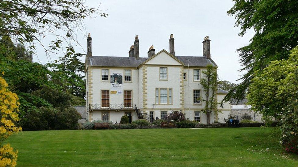 Enclosure in RosmoreEnclosure · 750 yd
 Castle Douglas (Site of)Castle, unclassified · 820 yd
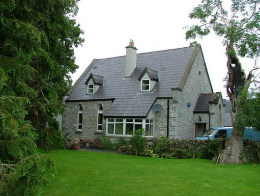 church/chapelchurch/chapel · 1162 yd
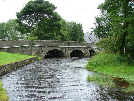 bridgebridge · 1176 yd
 Riverstown Folk ParkHeritage attraction · 1.0 mi
 Coola Castle (in Ruins)Bawn · 1.3 mi
 James MorrisonMemorial · 2.7 mi
 Giants GraveArchaeological place · 3.8 mi
 Field MapleField Maple · 4.0 mi
 European ashEuropean ash · 4.6 mi
 Annaghgowla IslandIslet · 4.8 mi
Other information
Photo: Credit not shown in the picture search · Rights wording not checked; contact us if this picture should be removed