What is recorded here
Half a kilometre of marsh and river has swallowed the outer works of a fort once large enough to hold a hundred lives. What remains is a thin inner bank, no more than knee-high in places, curving along the southern edge of the Dunkellin estuary at Roymore. The ground itself has done the erasing: water taken the outer ditch and bank, and time has sanded the rest into the plain. Yet the curve is still there, holding its shape against the tide of forgetting.
On a marshy promontory on the S bank of the estuary of the Dunkellin River. Described by McCaffrey as a bivallate earthen fort (max. int. dims. c. 56m N-S; c. 37m E-W) defined by an inner bank (int. H c. 1.8m at N; ext. H 3.1m), intervening fosse (Wth 5.7m) and outer bank (Wth c. 2.4m; int. H c. 1.8m). On inspection in December 1982 only the inner bank (Wth 0.55m at top of bank at E; int. H 0.35m; ext. H 1.6) was visible. From N through E to S it fell to the edge of the river. From S through W to N it was very badly defaced and not clearly visible.
Compiled by: Olive Alcock
Date of upload: 7 September 2018
The monument record does not grant public access. Check the route and ask the landowner before entering private land.
- What survives
- Recorded monument
Places near here
 Grave YardGraveyard · 349 yd
 Church (in Ruins)Church · 361 yd
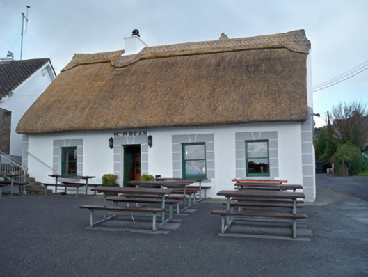 M. Moranhouse · 402 yd
 Enclosure in Killeenmunterlane NorthEnclosure · 613 yd
 Site of Kilcolgan CastleCastle, tower house · 736 yd
 Drumacoo Monastic SiteHeritage attraction · 1646 yd
 Kilcornan ForestWood · 1.8 mi
 Loughaun WoodWood · 1.9 mi
 MweenisharanIslet · 2.2 mi
 Bawn in Cregganna MoreBawn · 2.2 mi
 Mweenish PointHeadland · 3.3 mi
 Fiddaun IslandIslet · 3.3 mi